


Wineglasses, Honeymoons, and other Hazards . . . .
Days 16 & 17 (March 14 & 15)

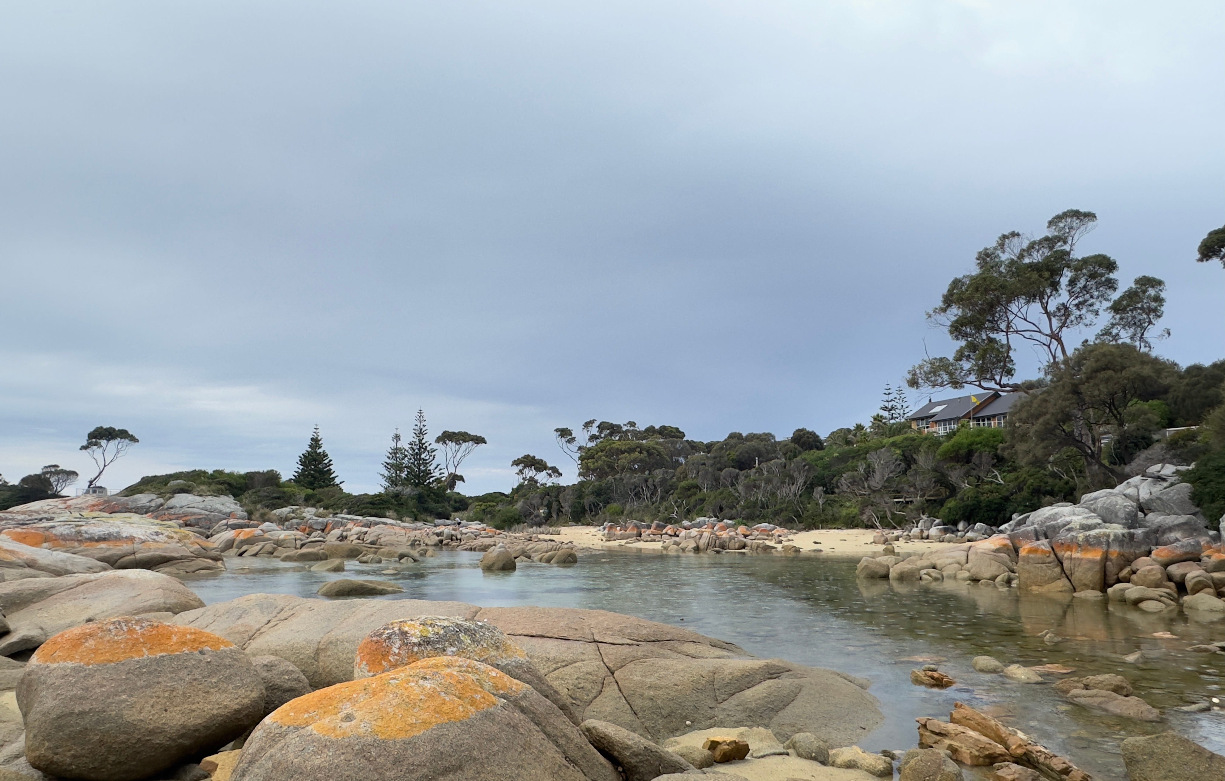
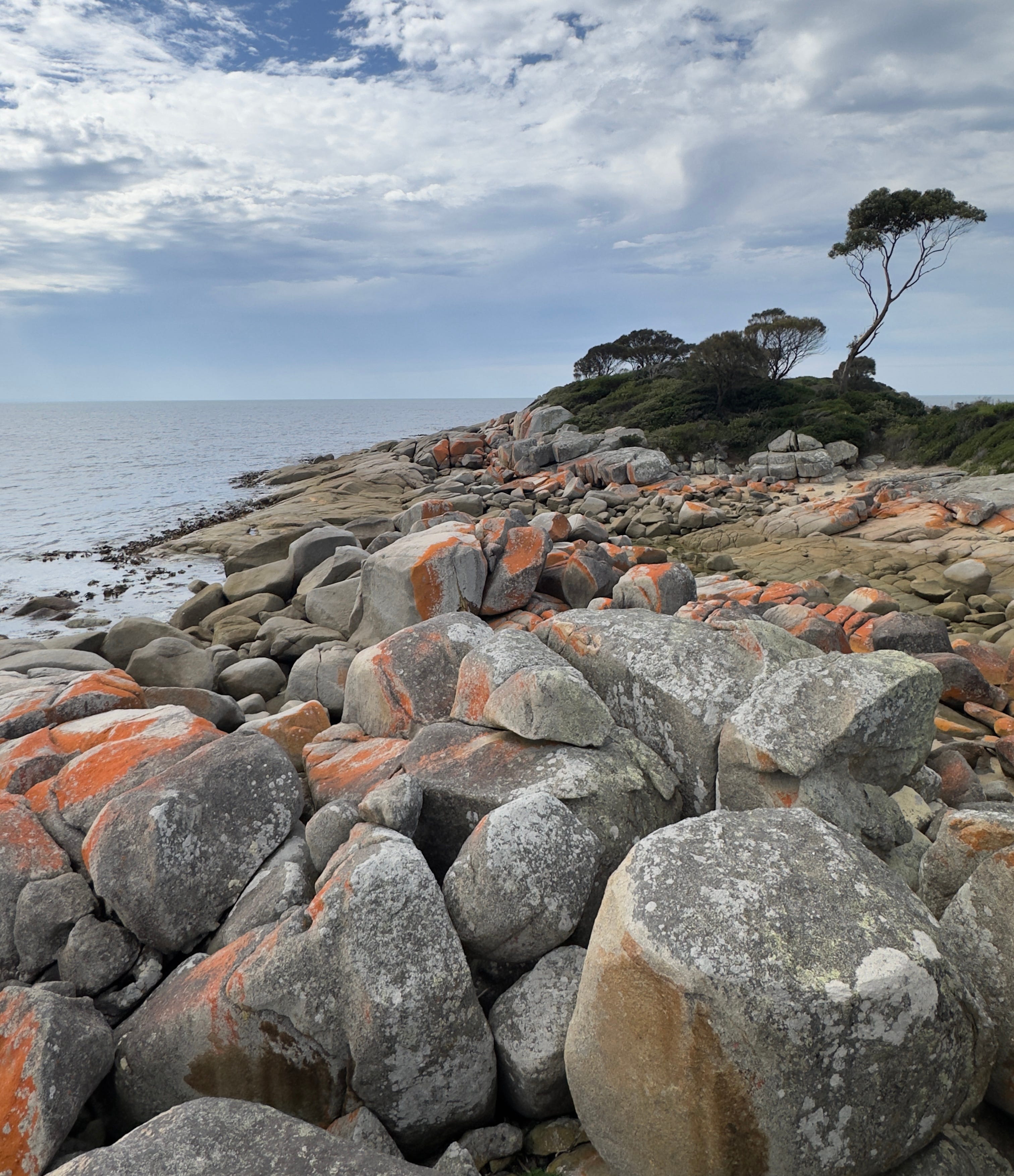
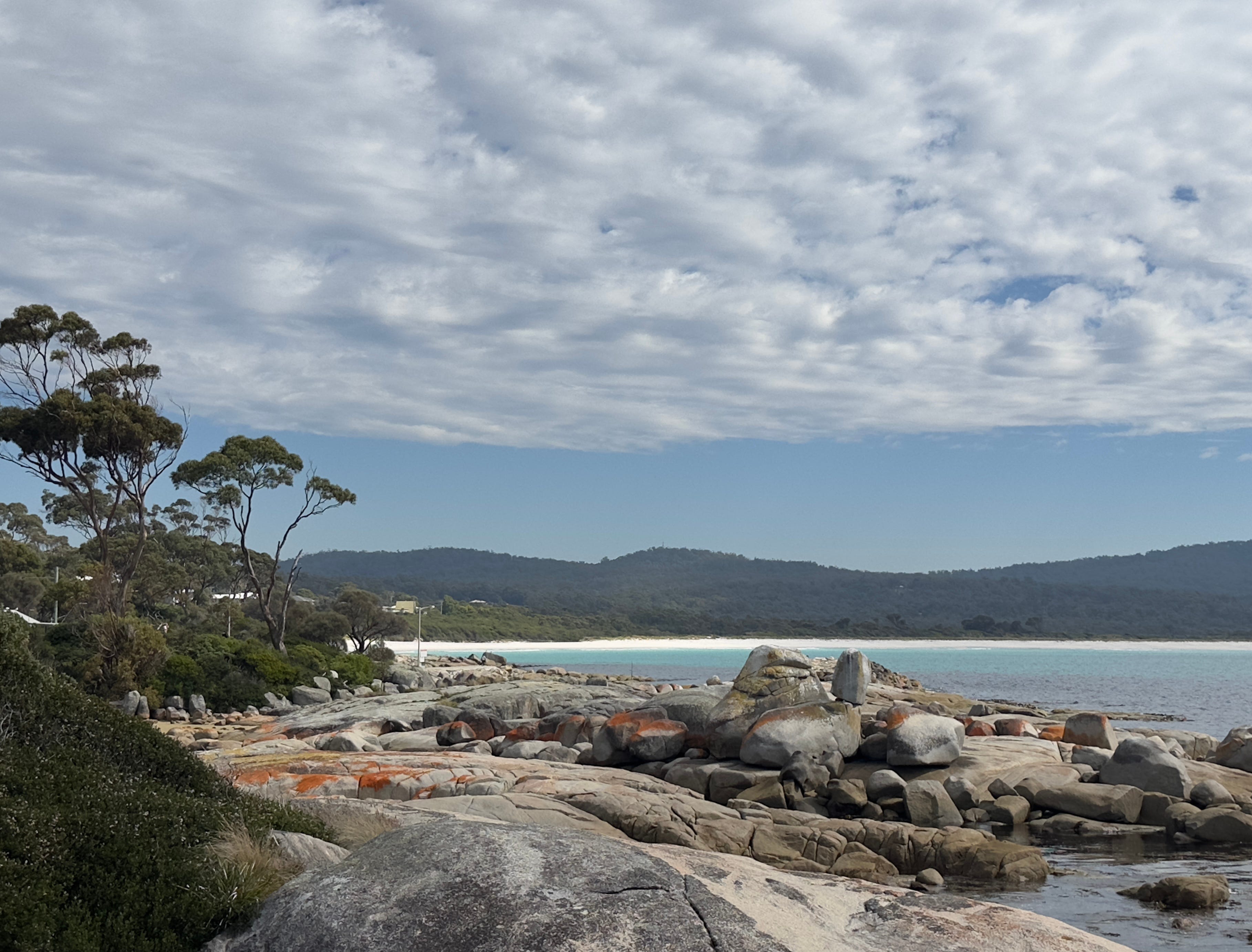
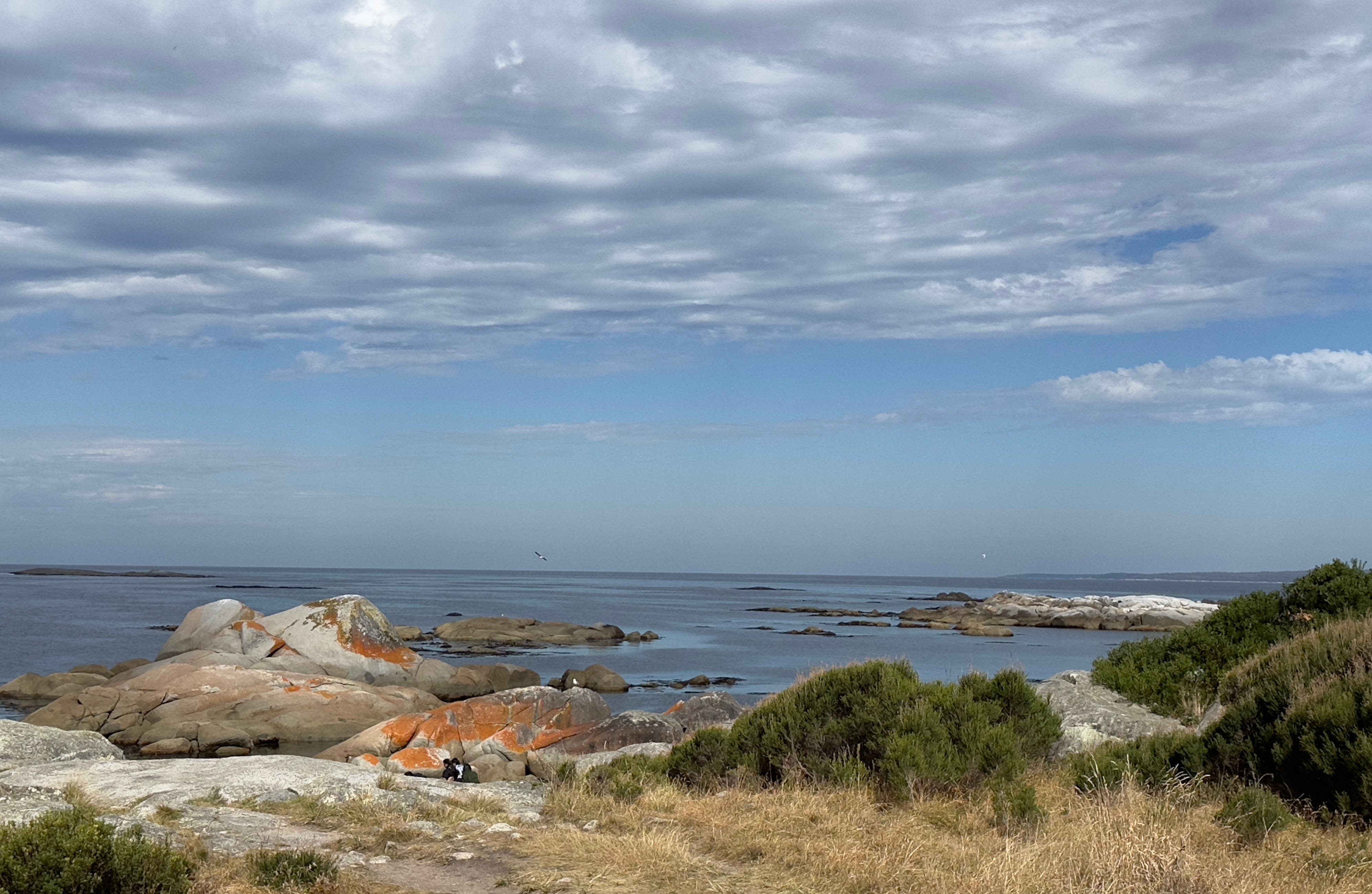
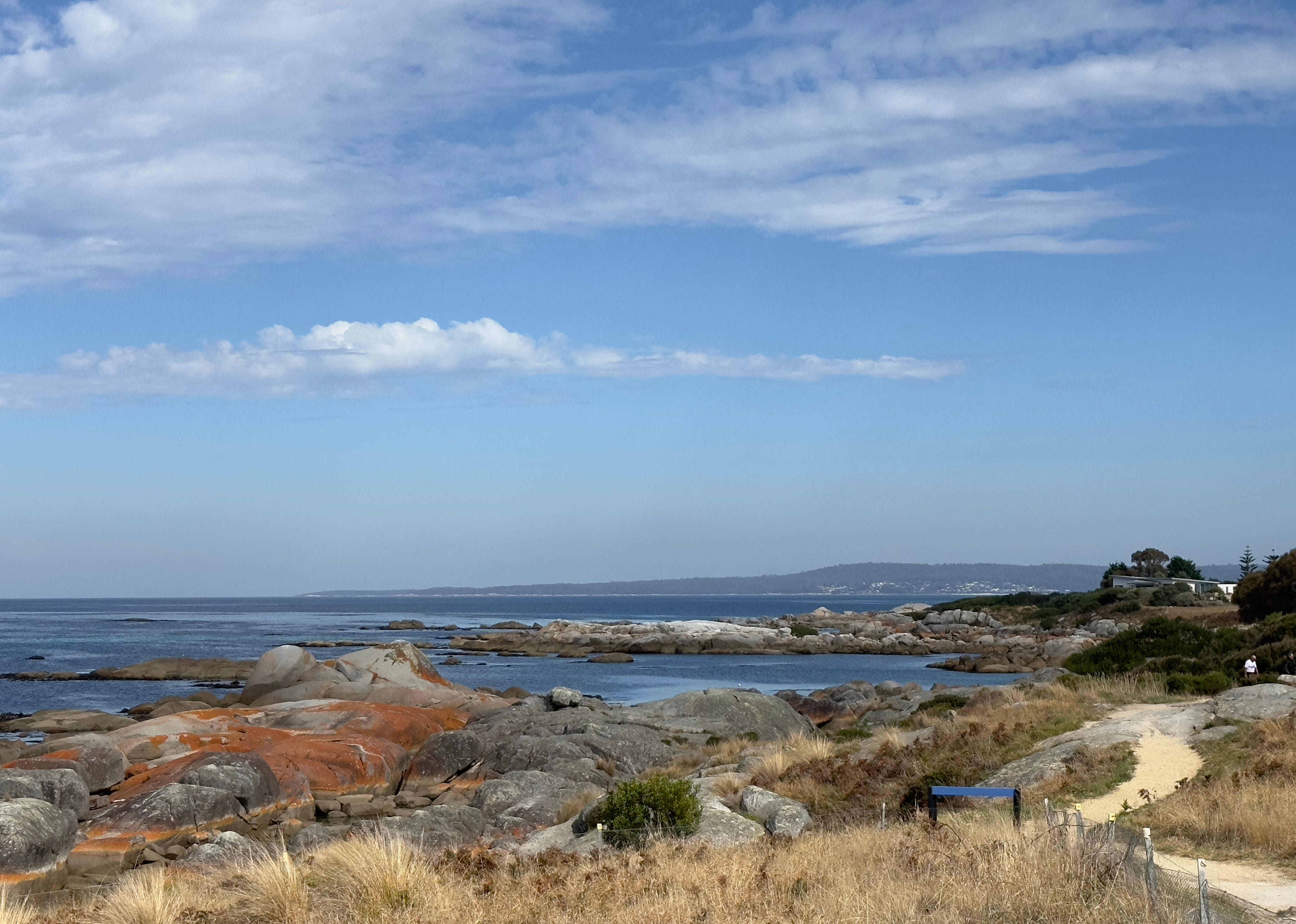
Our Aussie Escapades: We left the interior of Tasmania today for two days exploring Tasmania’s eastern shore. On Friday, we drove to the coast and began our adventure at the Bay of Fires or larapuna, as the indigenous peoples here named it, is on Tasmania’s northeast coast. The Bay was given its colonial name in 1773 by Captain Tobias Furneaux, who was commanding the HMS Adventure, which was the first vessel to circumnavigate the globe from west to east. When Captain Furneaux entered the Bay, he saw fires of the aboriginal peoples who lived there dotting the shoreline, and declared the inlet the “Bay of Fires.” Some people also think the name is apropos of the red lichen that grows all over the rocks scattered about the Bay. Whatever the source of its name, the magic of red lichen-covered rocks surrounding pristine azure waters is spellbinding.
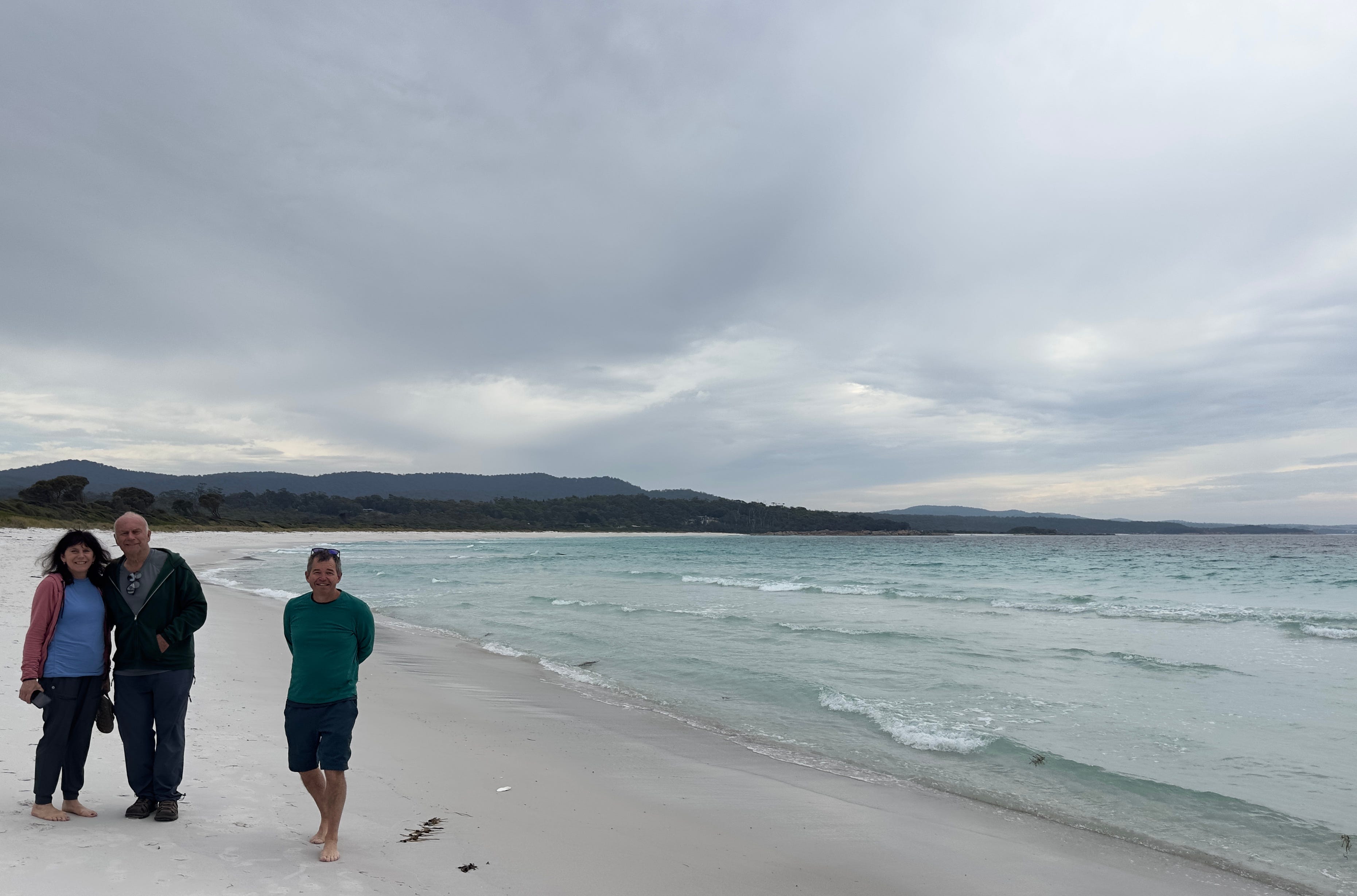
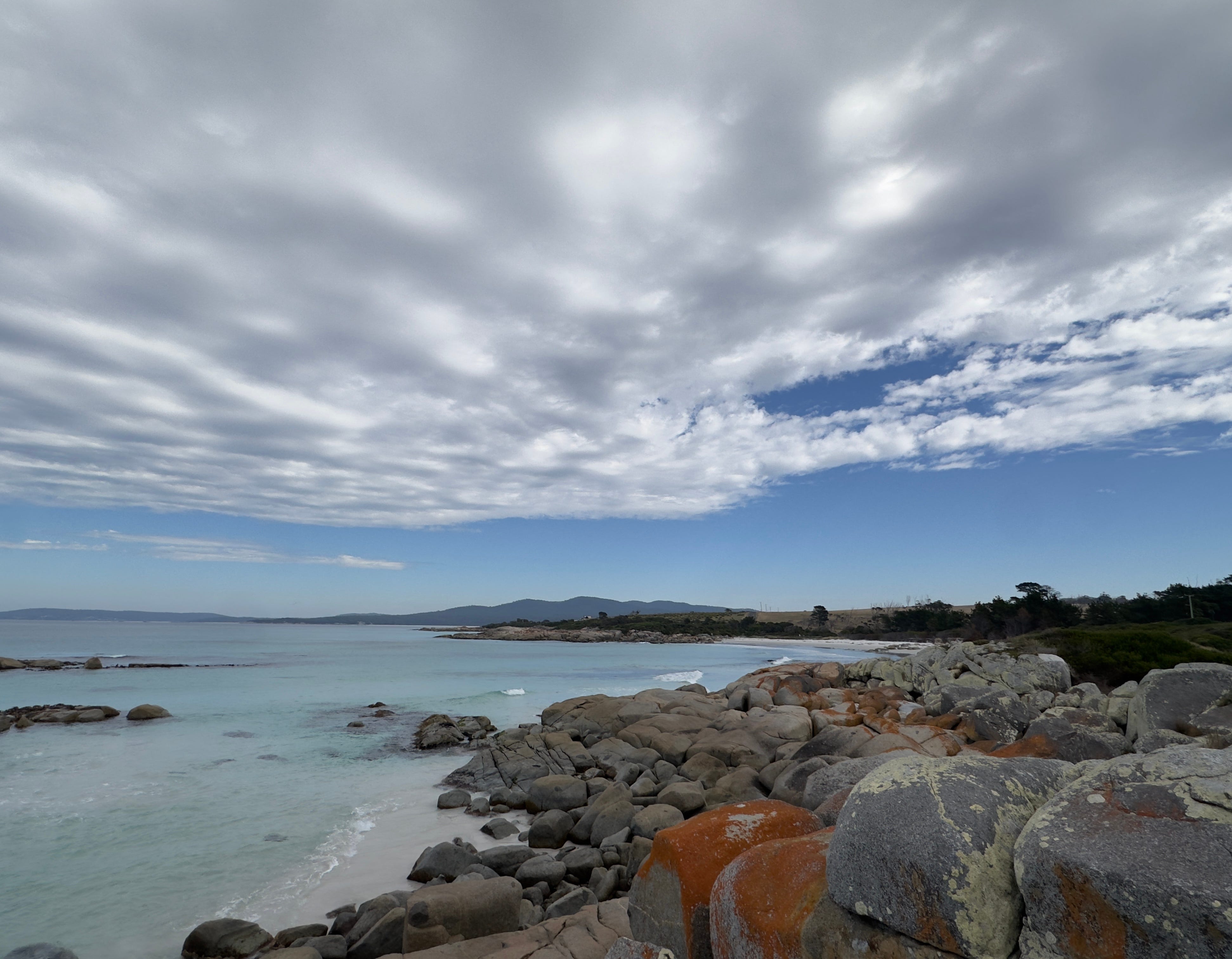
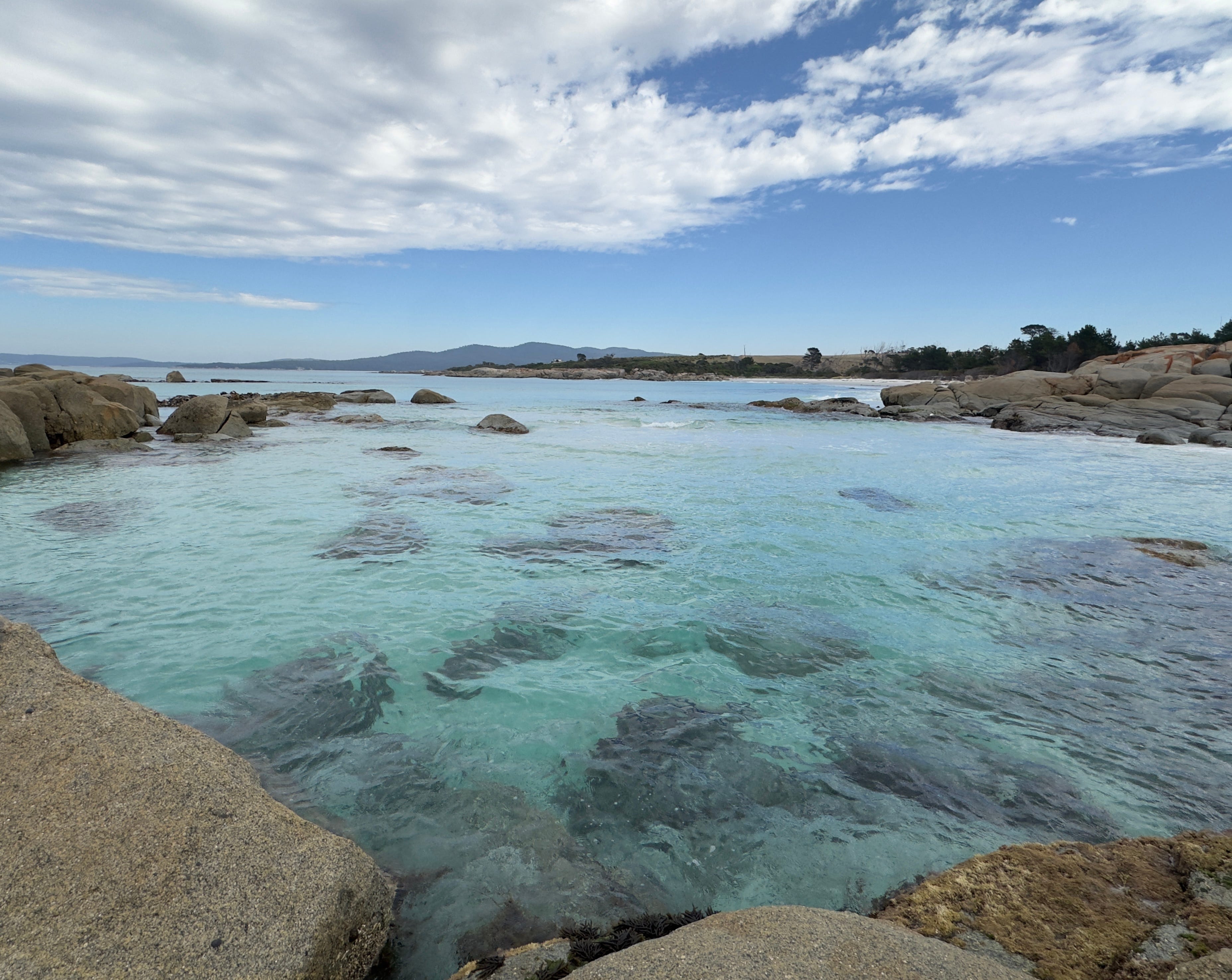
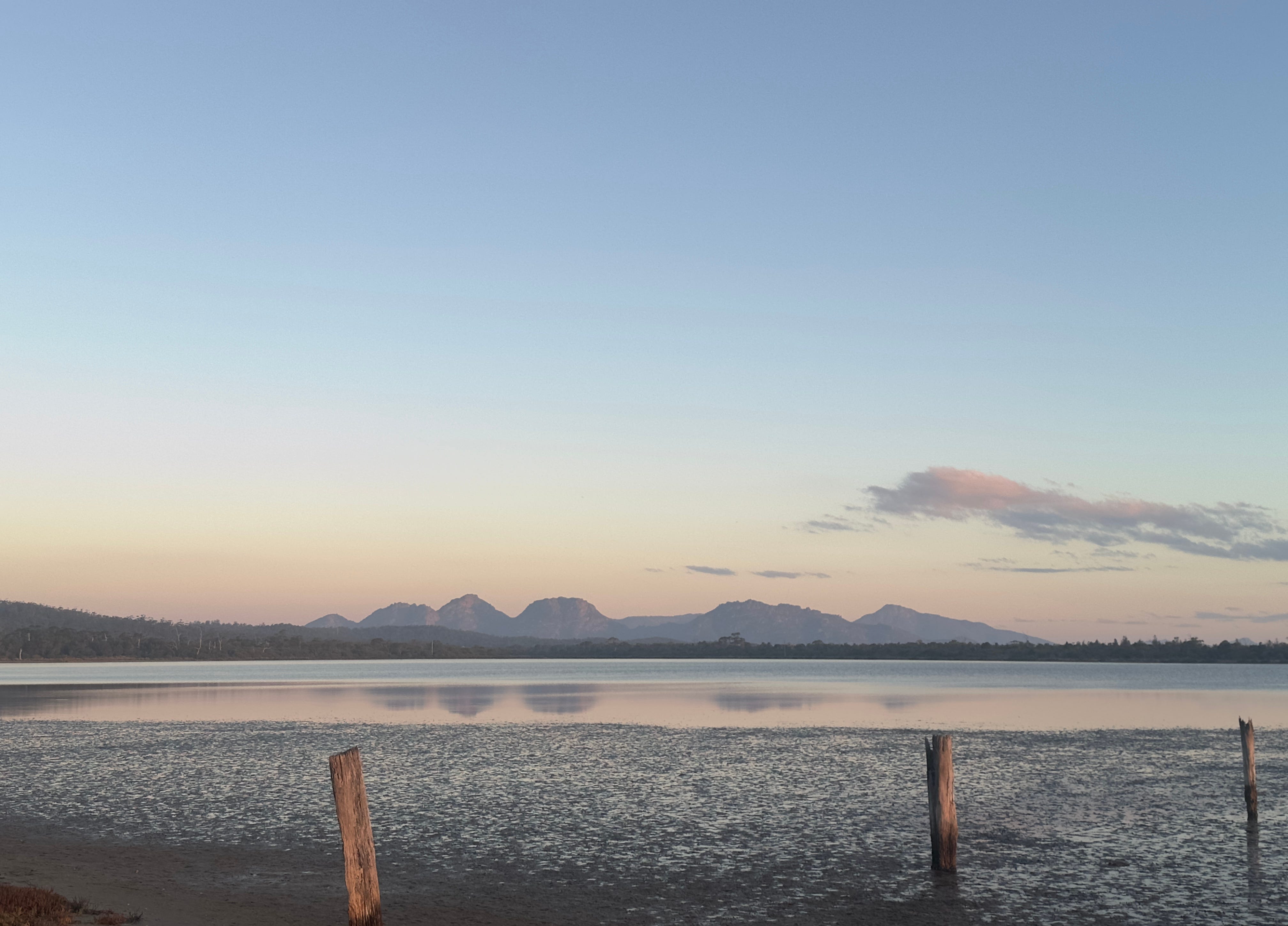
From the Bay of Fires, we drove south along the shoreline stopping frequently for view-gawking and photo popping. Our goal was to reach our home for the next couple of nights on Coles Bay. Coles Bay is located midway down the Tasmanian eastern seaboard on the Freycinet Peninsula—pronounced “Fray-sin-nay.” The Peninsula is a large and dramatic land formation chiseled into Tasmania’s eastern seaboard. Located within Freycinet National Park, the Peninsula is famous for its pink granite mountain range—known as the Hazards—and its soft-as-talc, white sand beaches. Wineglass and Honeymoon Bays are also contained within the Peninsula. When we reached our Coles Bay abode, we were not disappointed! We enjoyed an amazing sunset and sunrise the next morning overlooking Coles Bay right from the porch of our Airbnb.
Saturday was devoted to exploring as much of the Freycinet Peninsula as we could pack into a day. Dave and I began the day with a 2 mile walk from our Airbnb right along the edge of Coles Bay. We spotted six black swans on our morning jaunt. These magnificent birds are symbols of southwest Australia. They mate for life and jointly raise their signets. Ever since I saw a black swan in the Melbourne Botanical Garden, I’ve wanted to be able to photograph one of these amazing creatures. I hoped to do so at Coles Bay, but they remained a bit too far away for great photography.
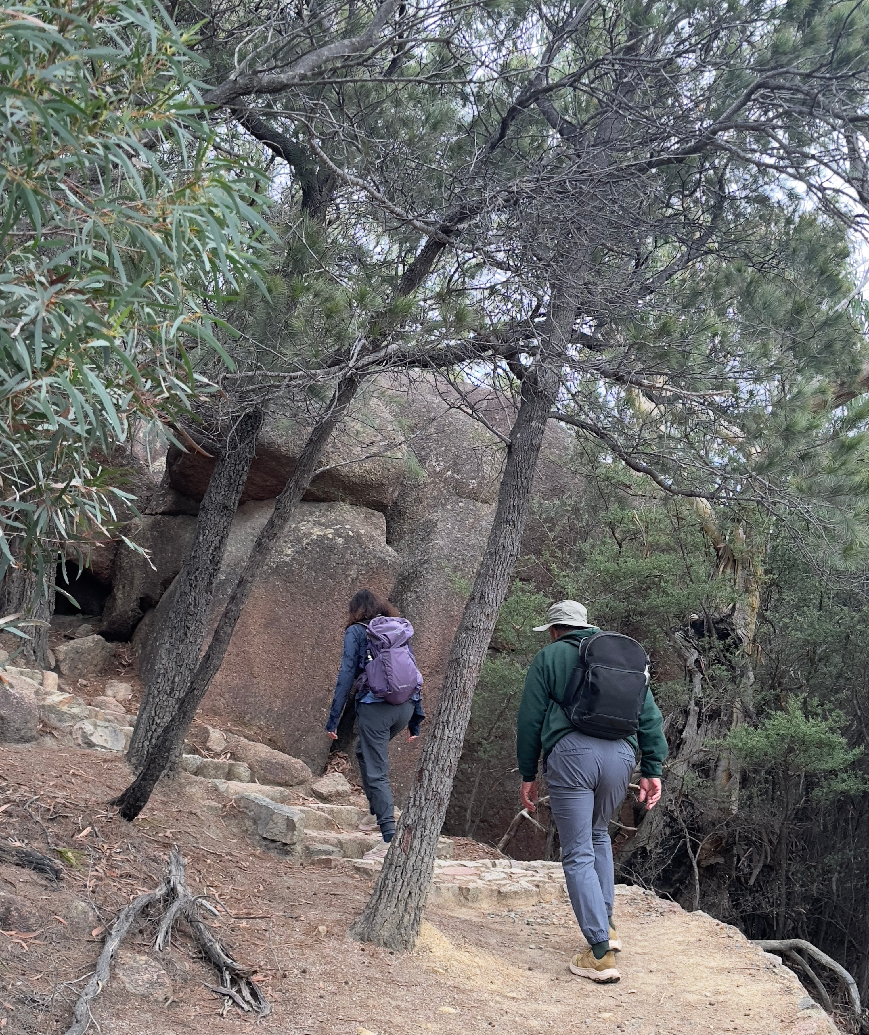
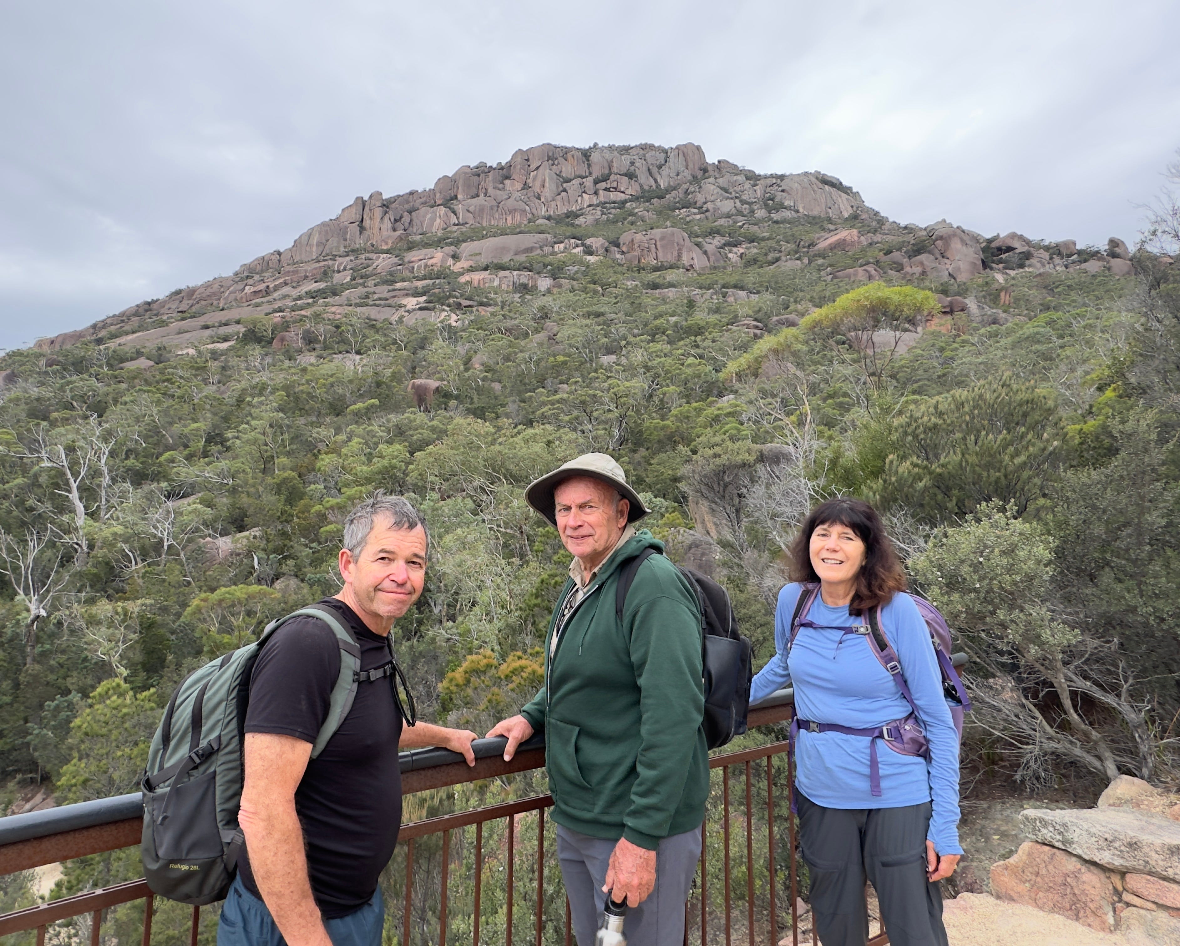
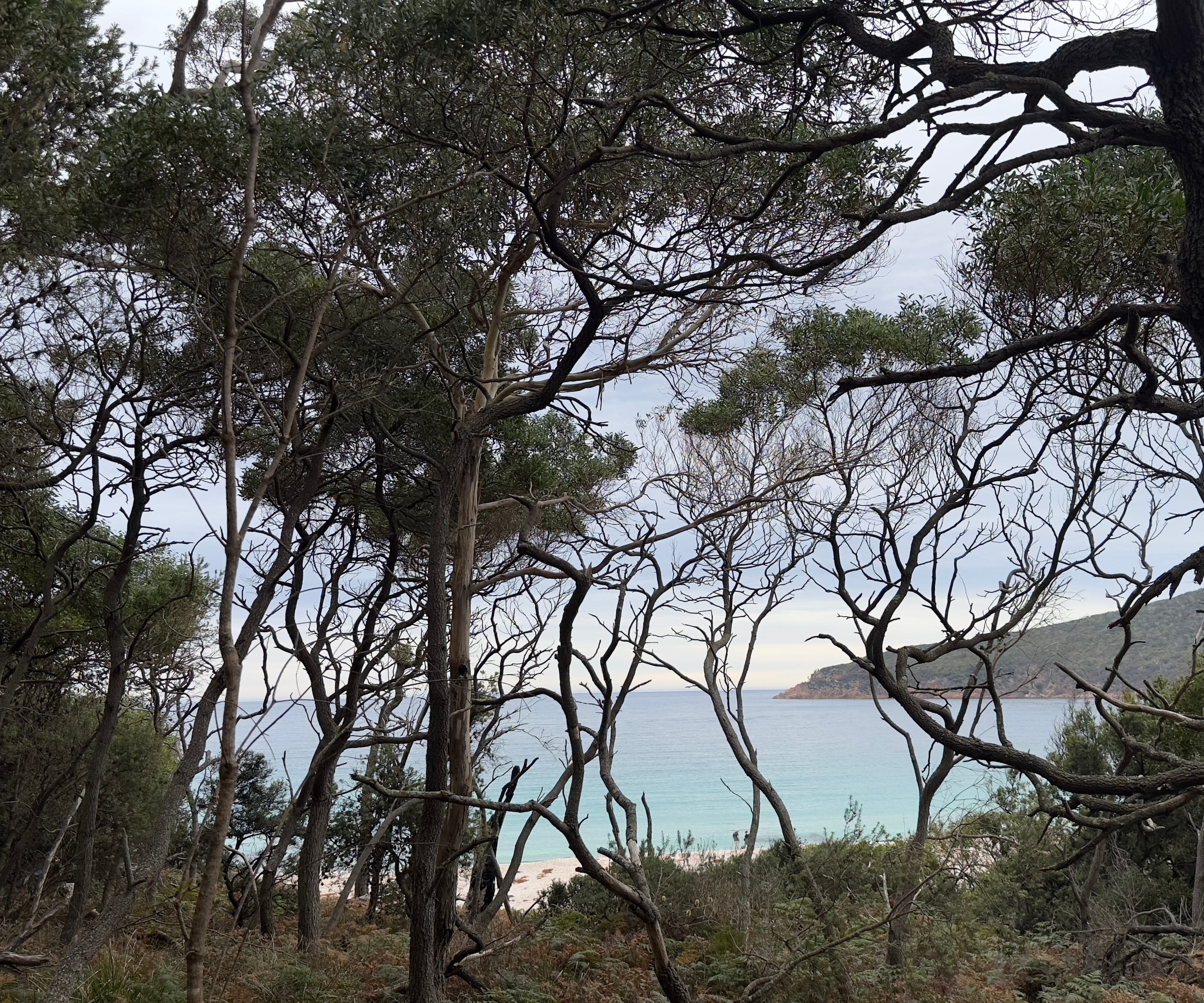
We followed up our morning walk with a four mile hike up the Hazard Mountains to the Wineglass Bay lookout, and then back down the other side of the range to the white sands of crescent-shaped Wineglass Bay beach. As we began our descent to the beach, a trail sign warned that the hike down to the beach contained1,000 steps and anyone unprepared for the return trip should not descend. Wineglass Bay is only accessible by foot or boat, so what goes down must come back up under its own power. We all managed the return trip just fine and the beach proved to be an enchanting venue for our picnic lunch.
Today, Wineglass Bay is a beautifully pristine sanctuary but it has not always been so. In the 1800s, it was the center of the local whaling industry. Many species of whales, including the Right Whale—prized by whalers for the heavy oil content in its blubber, use Wineglass Bay as a resting and feeding way station along their migratory routes. In the mid 1800s, scouts would be stationed in the Hazard Mountains above Wineglass Bay to spot the whales as they arrived. Those scouts would then light fires in the hill above so the whalers below were alerted and could trap the whales relatively easily in the Bay and slaughter them. Some say that Wineglass Bay obtained its deceptively whimsical name not due to its shape or its crystal clear waters, but because so many whales were slaughtered here during the heyday of whaling that the water in the Bay ran red as wine. After soaking in the tranquil beauty of Wineglass Bay today, I’m very thankful that activity is now largely a part of our history.
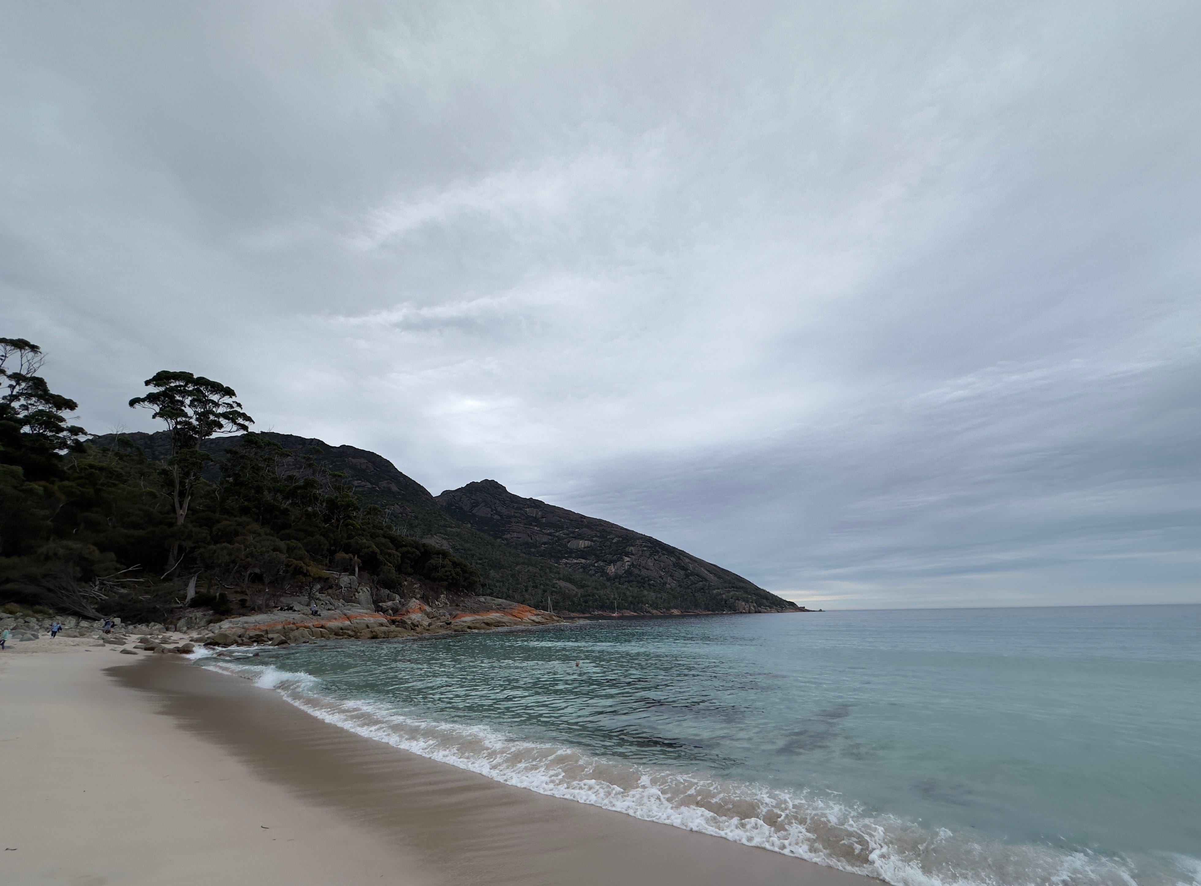
To complete our already full day on Saturday, we followed up our hike with an afternoon kayak tour on Honeymoon Bay. We had envisioned a relaxing little paddle over placid waters, but by afternoon the wind kicked up and our peaceful paddle turned into more of rocky row! But we were up to the adventure and fortunately all of us remained upright! Unfortunately, I did not feel confident enough in the waves and spray to remove my camera from its waterproof bag for any photos! You’ll have to trust me that Honeymoon Bay rivals both Wineglass Bay and Coles Bay in beauty and romance.
Until next time, here are some photos from the past two days:
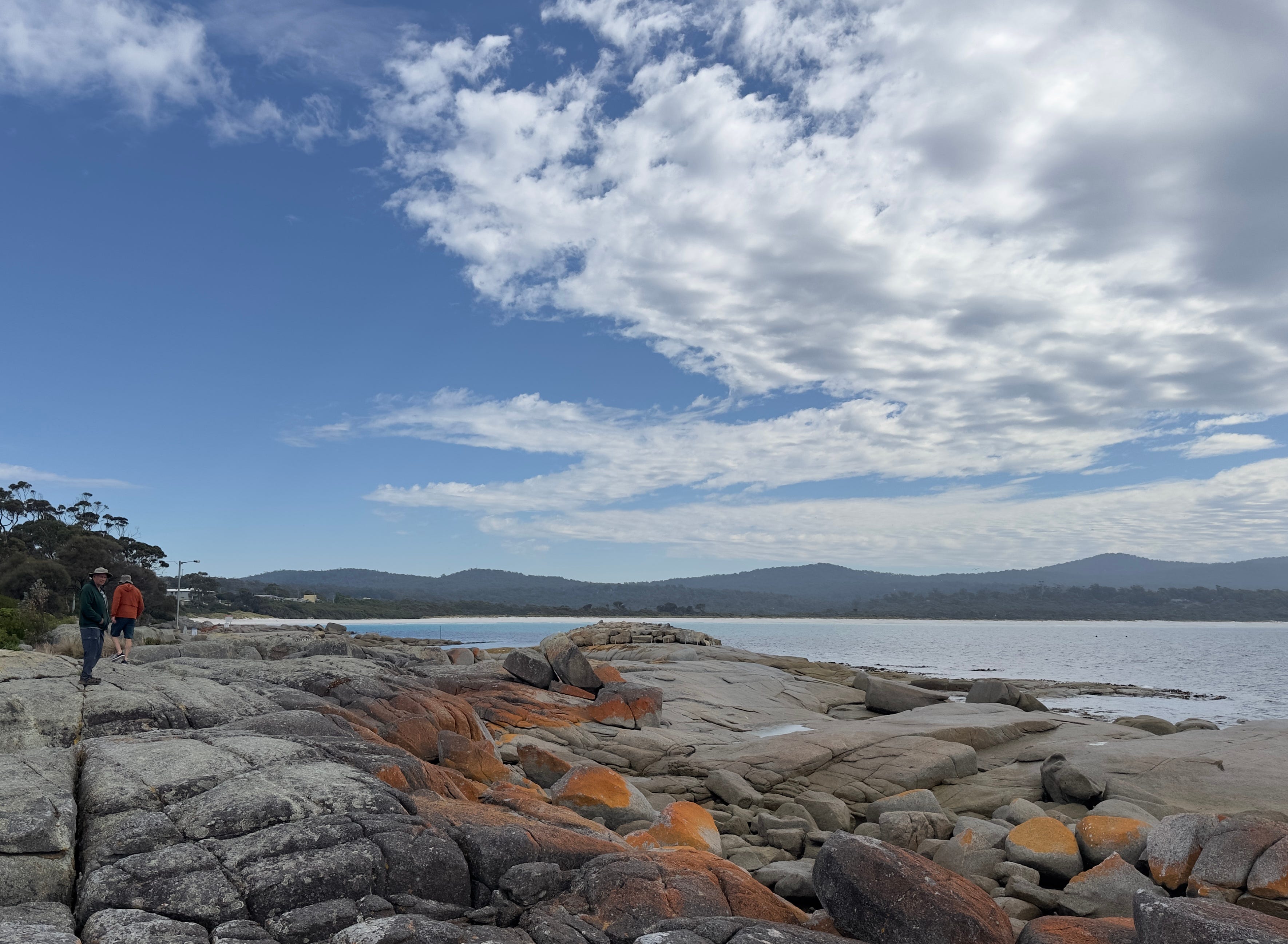
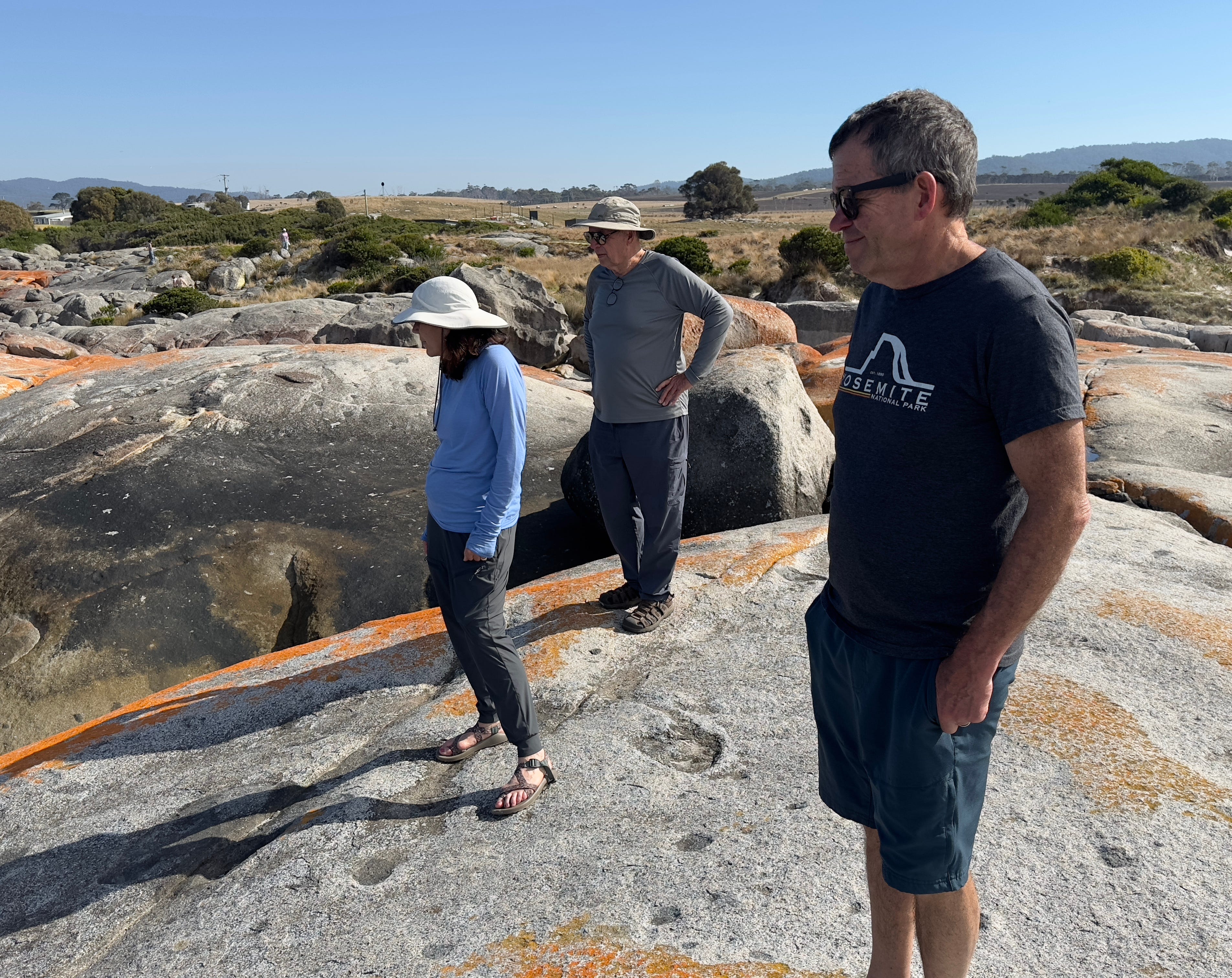
One of our first views of the Bay of Fire with its iconic red lichen-covered rocks.
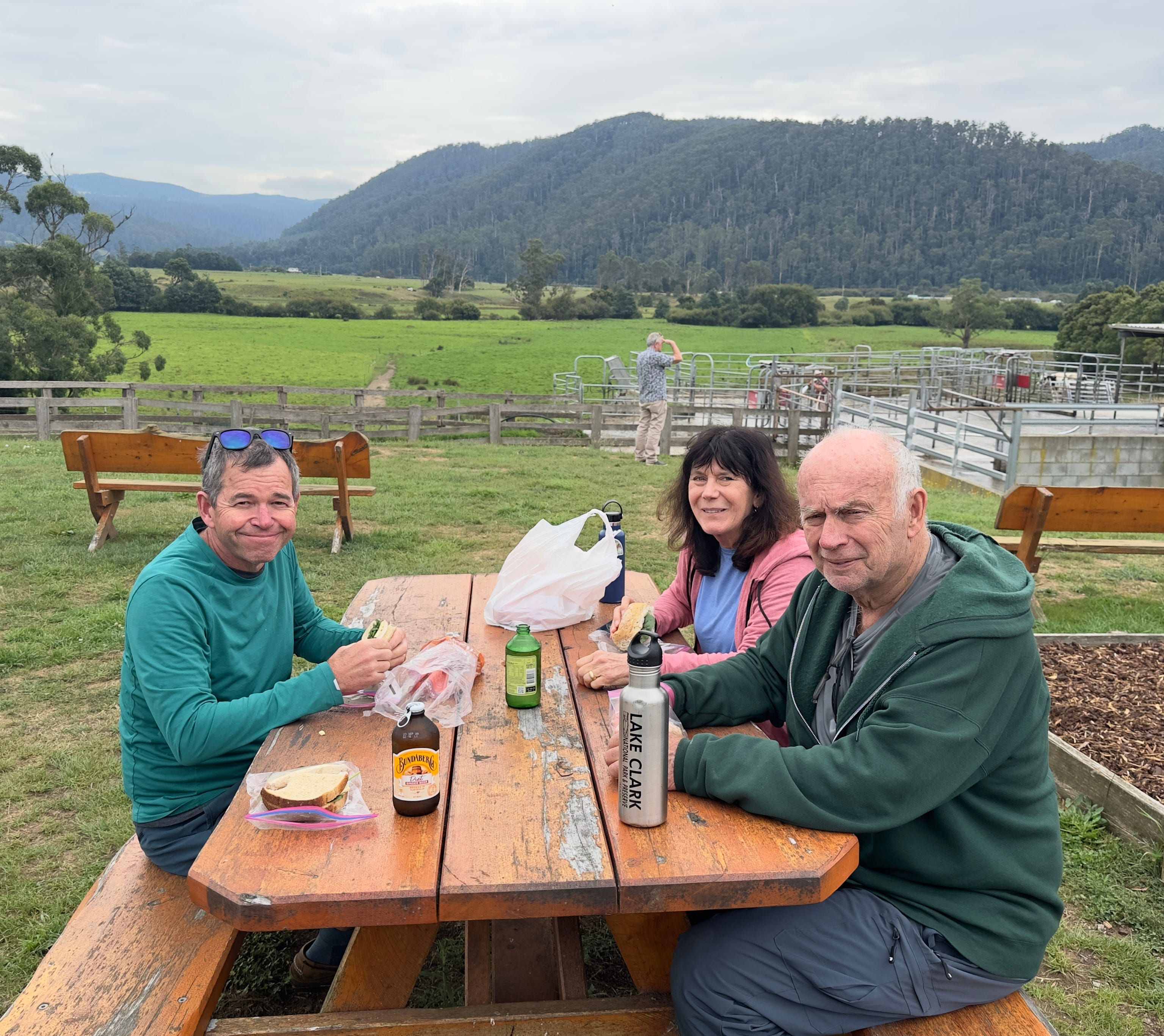
Our picnic lunch at a local dairy on our way to the Bay of Fires. Tasmania makes some tasty cheese!
Azure blue waters and sand so soft and fine that it squeaked under our feet as we walked.
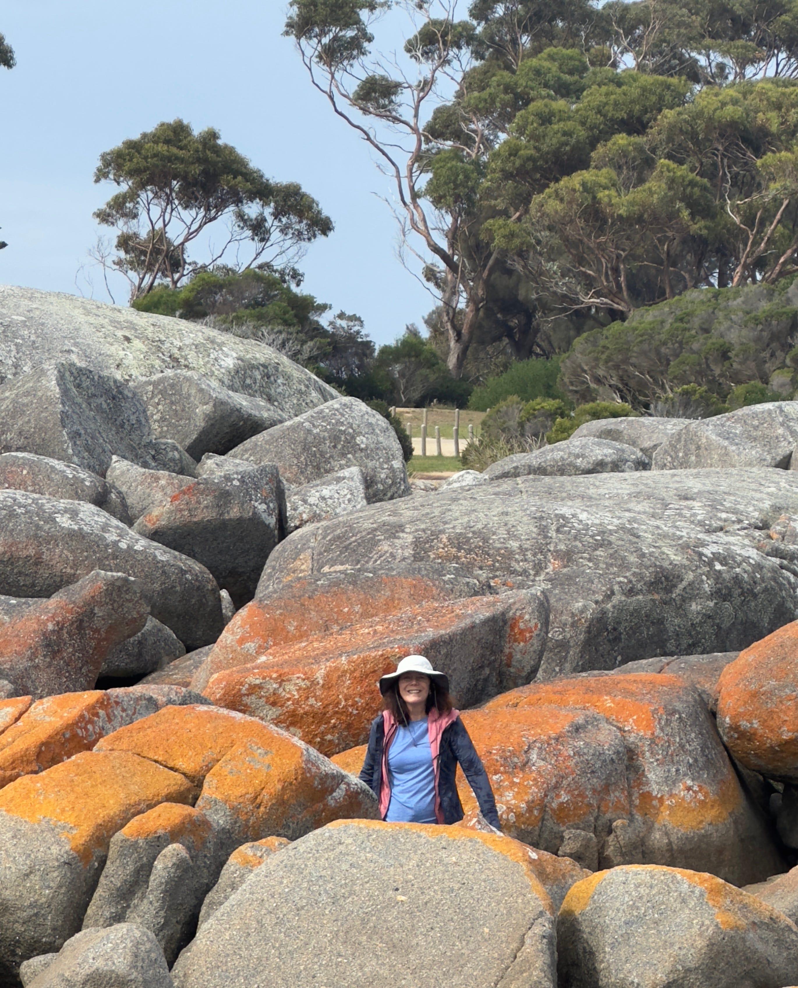
Lisa — popping up from behind the red rocks.
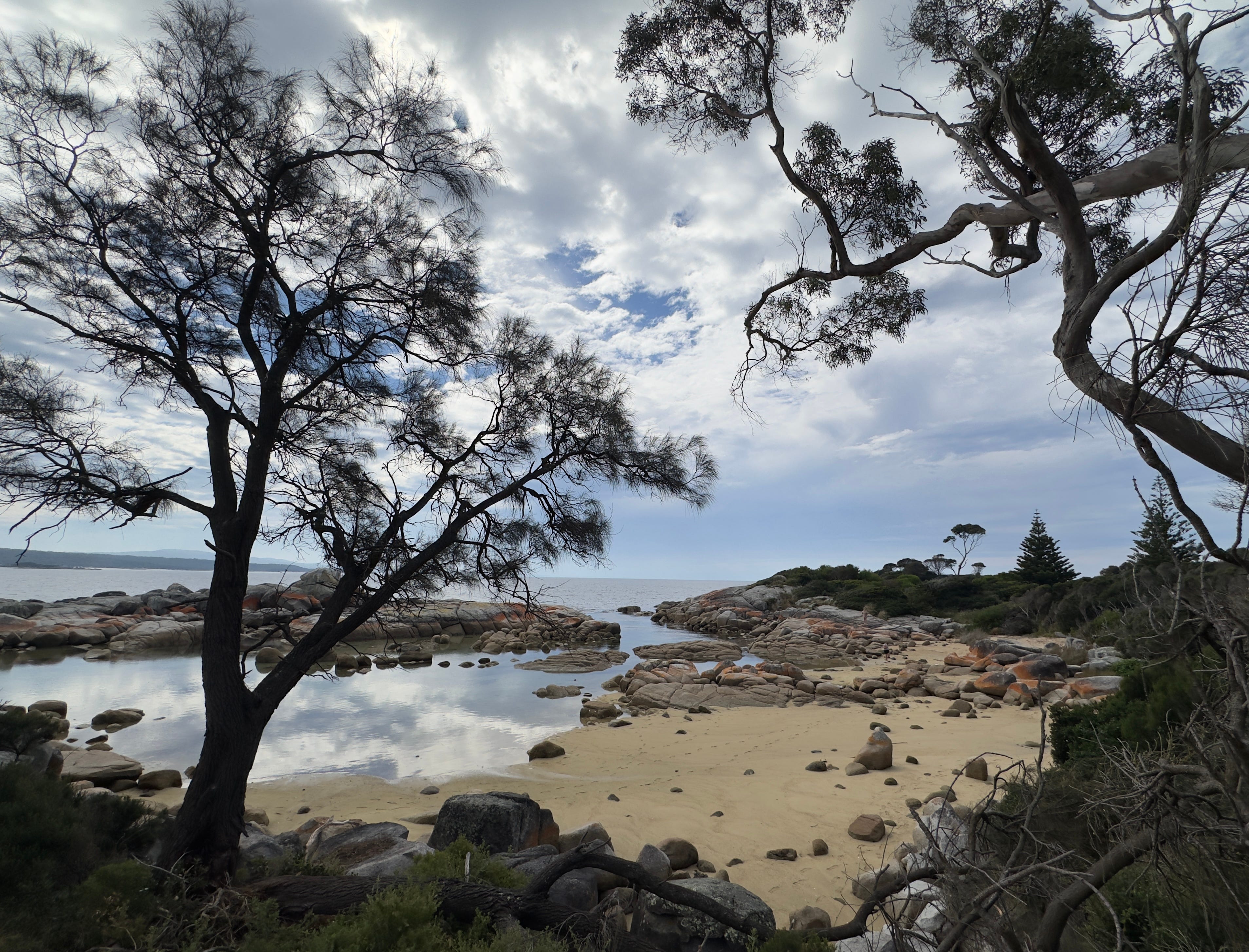
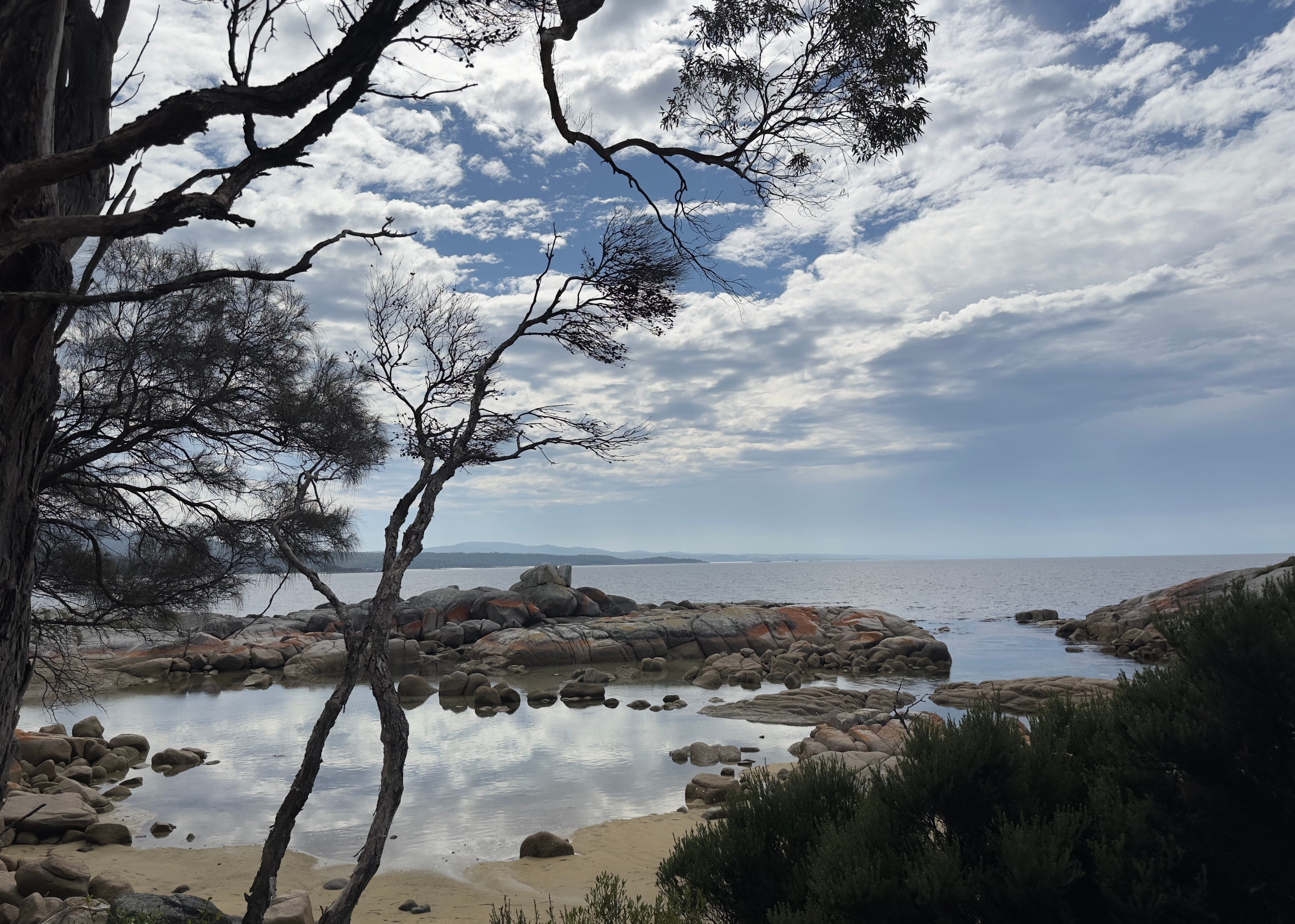
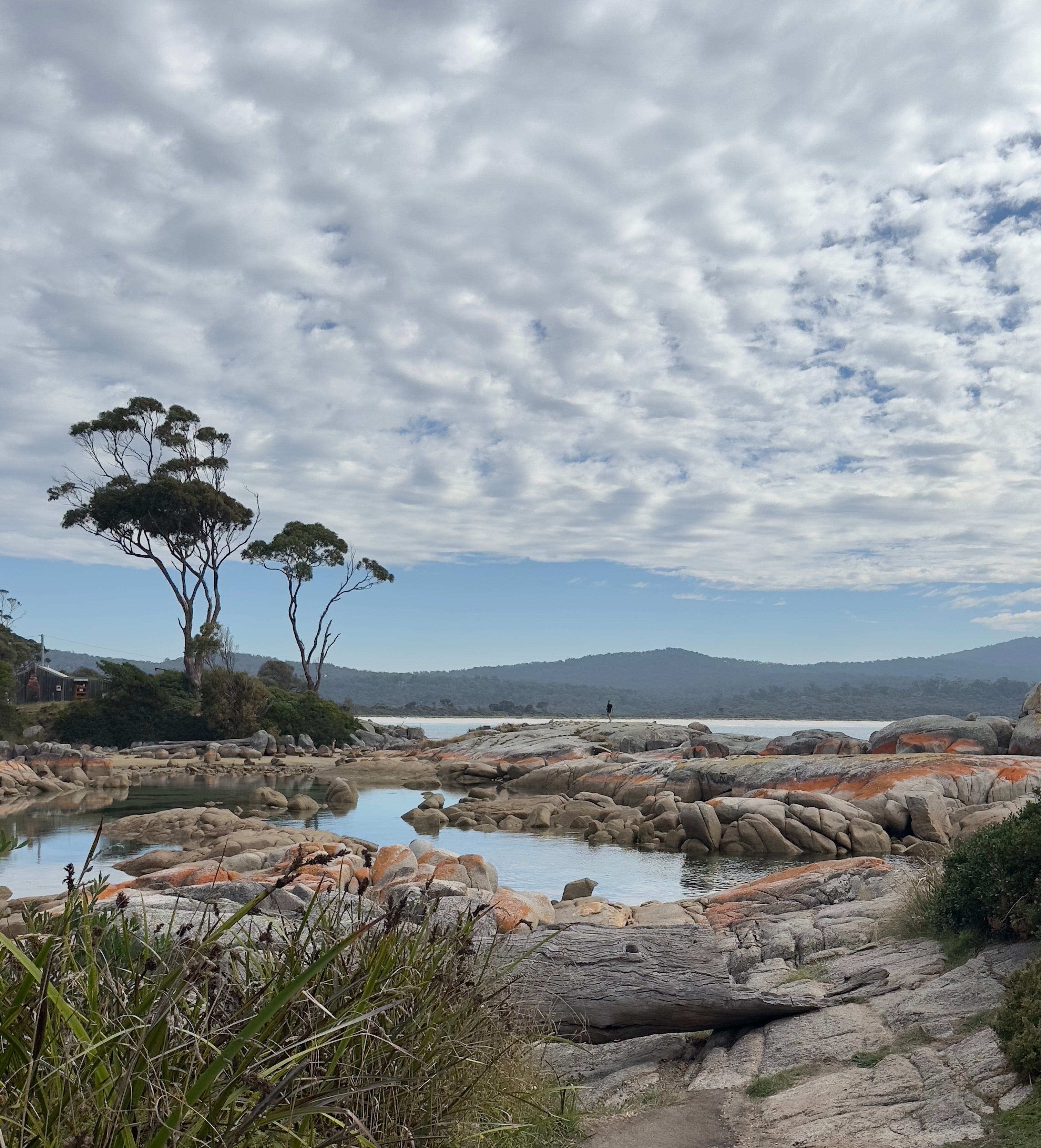
The color and clarity of the water was striking.
This is from an area of the Bay of Fires known as “the Garden.”
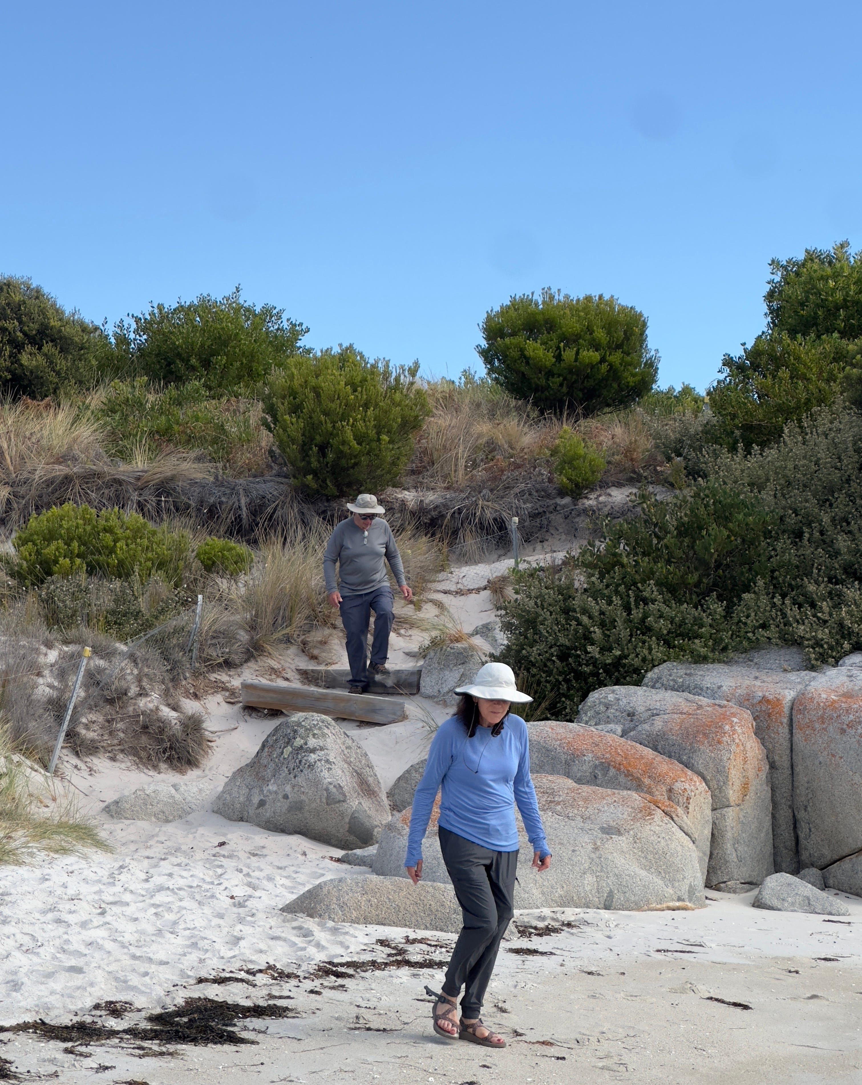
Walking through the Bay of Fire Gardens.
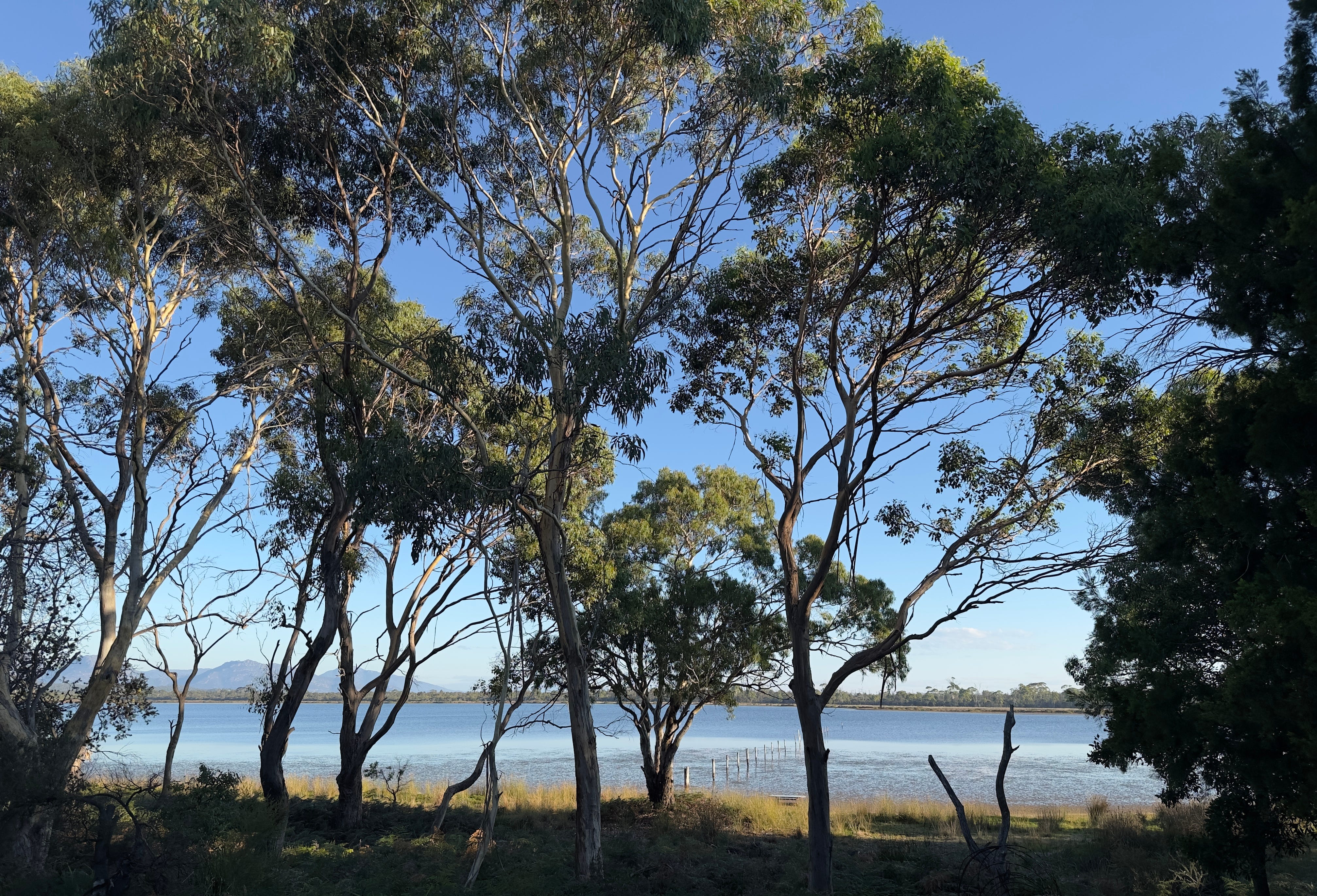
The view from the porch of our Coles Bay abode when we arrived.
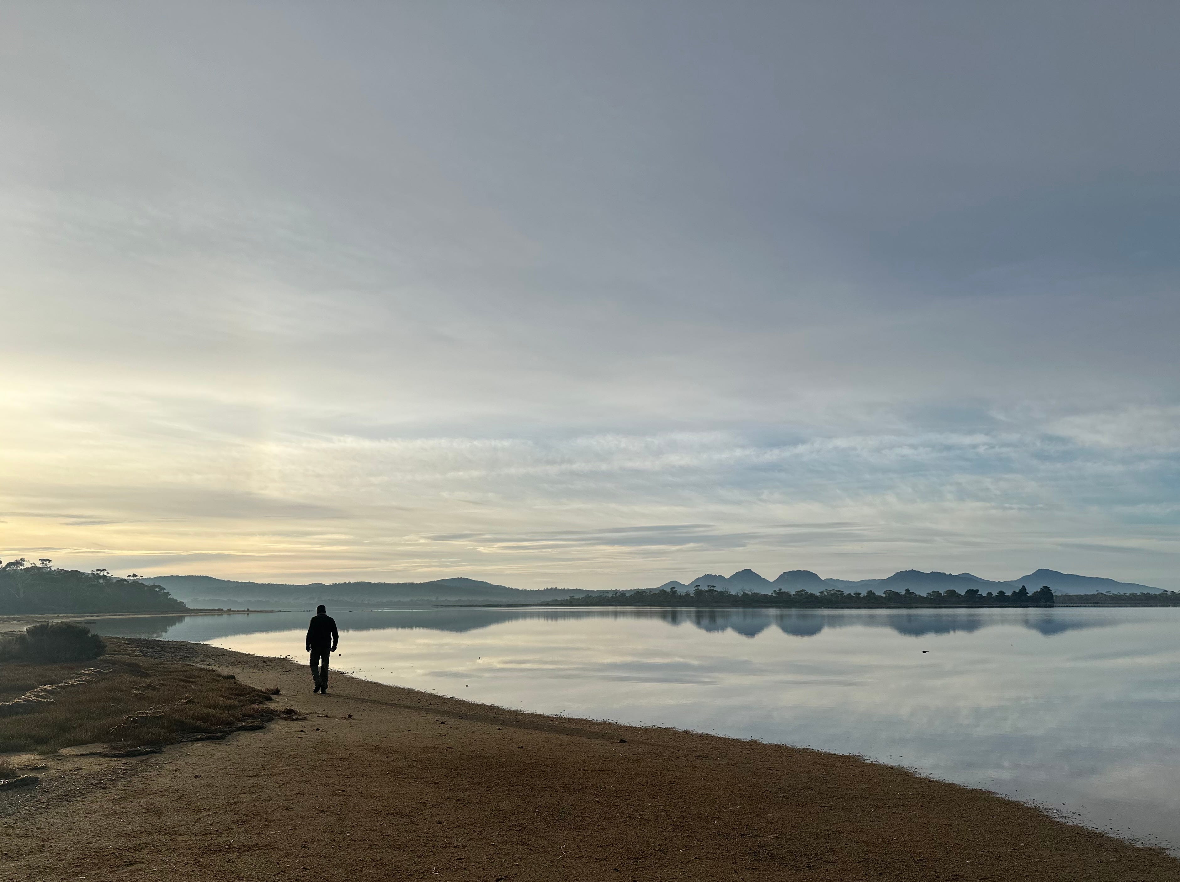
The Hazard Mountain range over Coles Bay from the beach at our Airbnb.
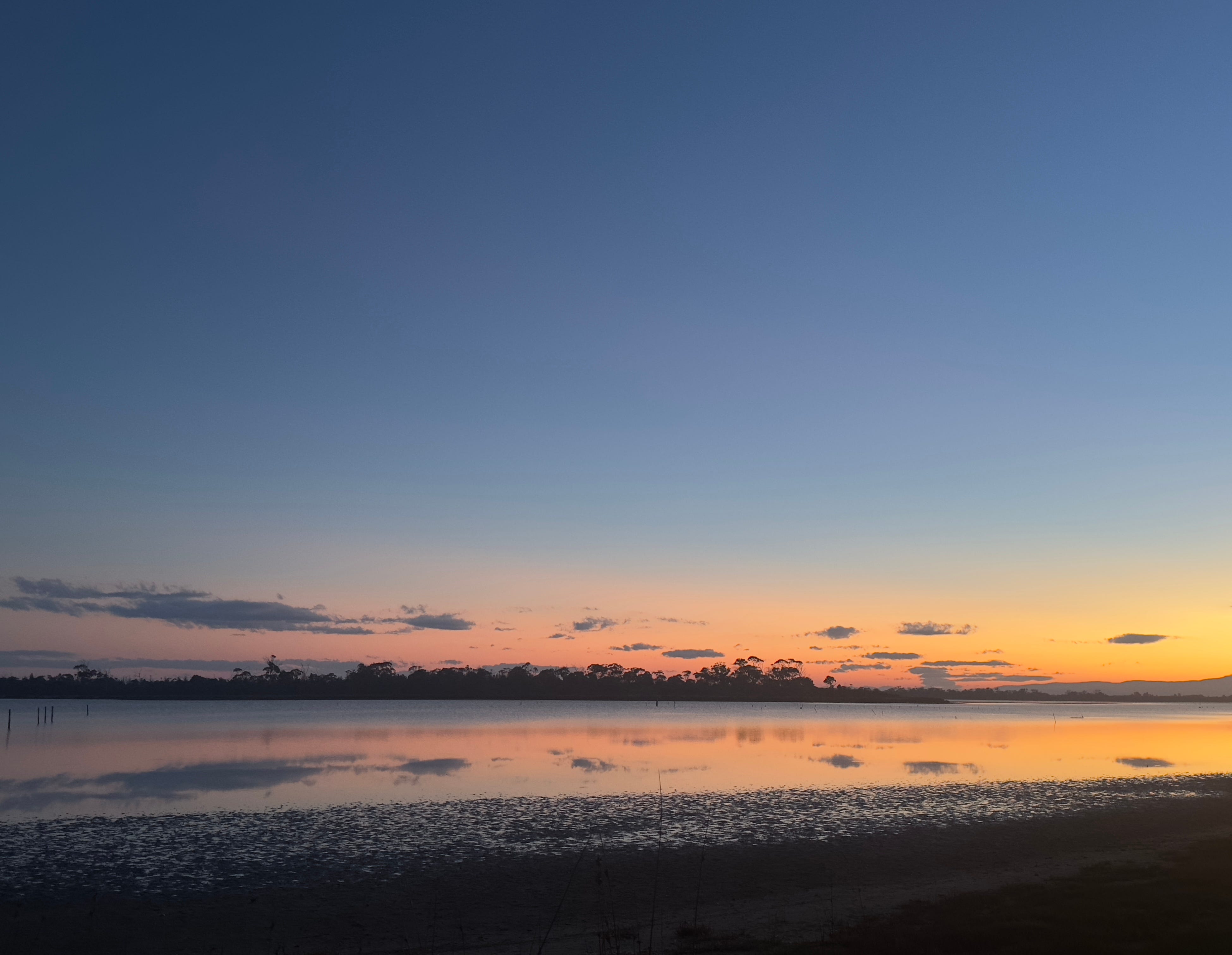
The water was so still on Coles Bay that the clouds were perfectly reflected at sunset.
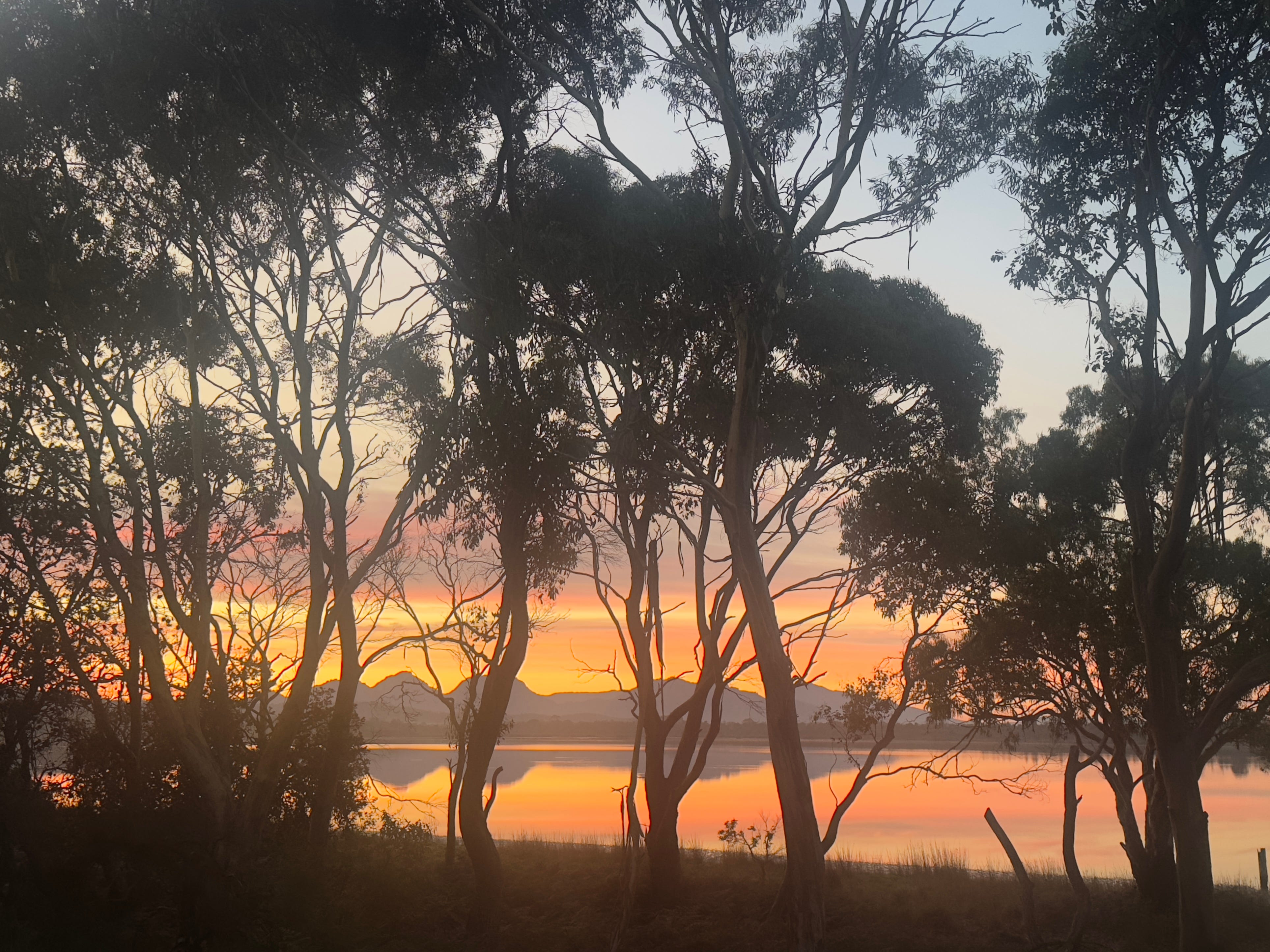
And this is what we saw from the porch at sunrise the next morning.
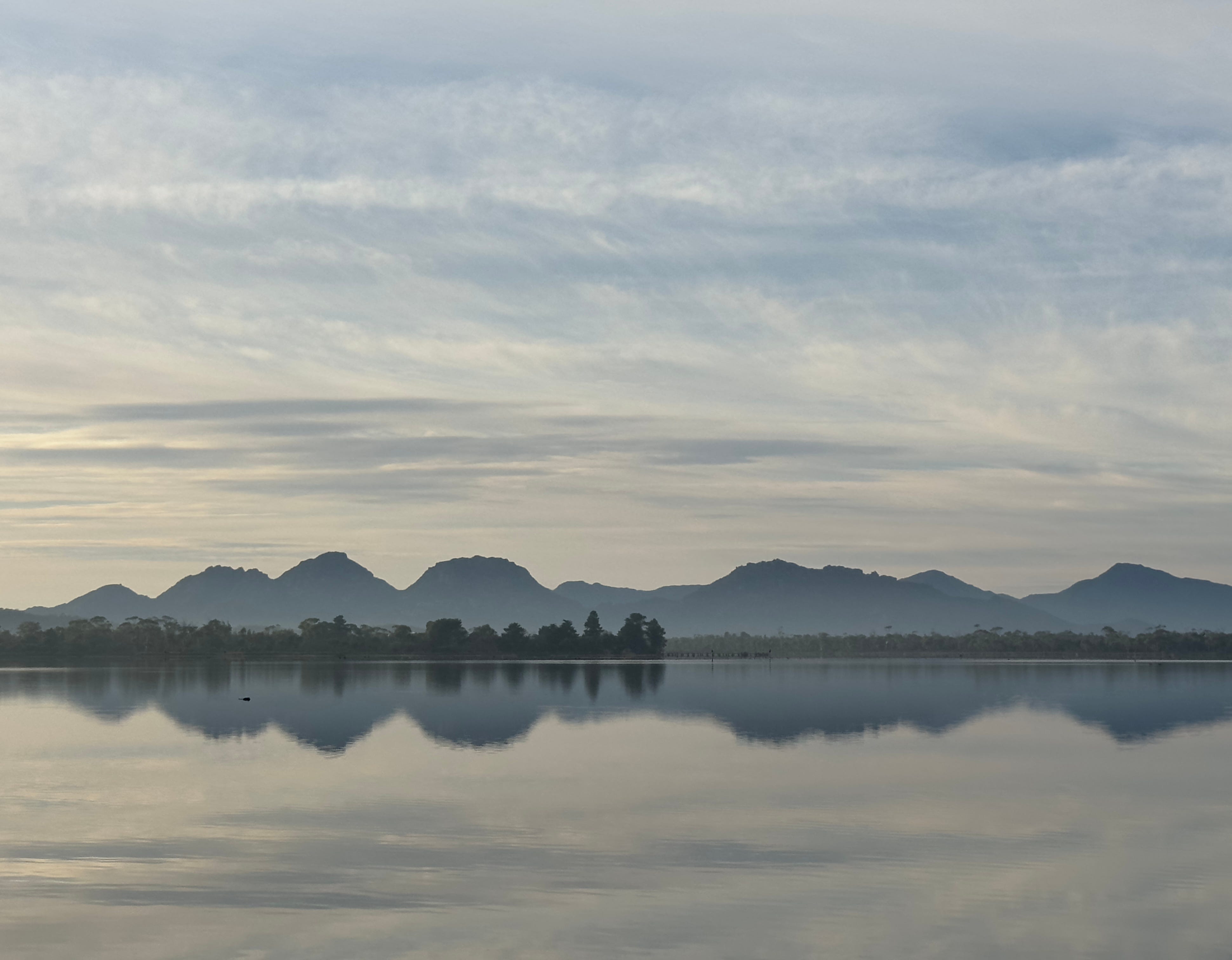
The Hazard Mountains over a placid Coles Bay. Looks like a water color painting.
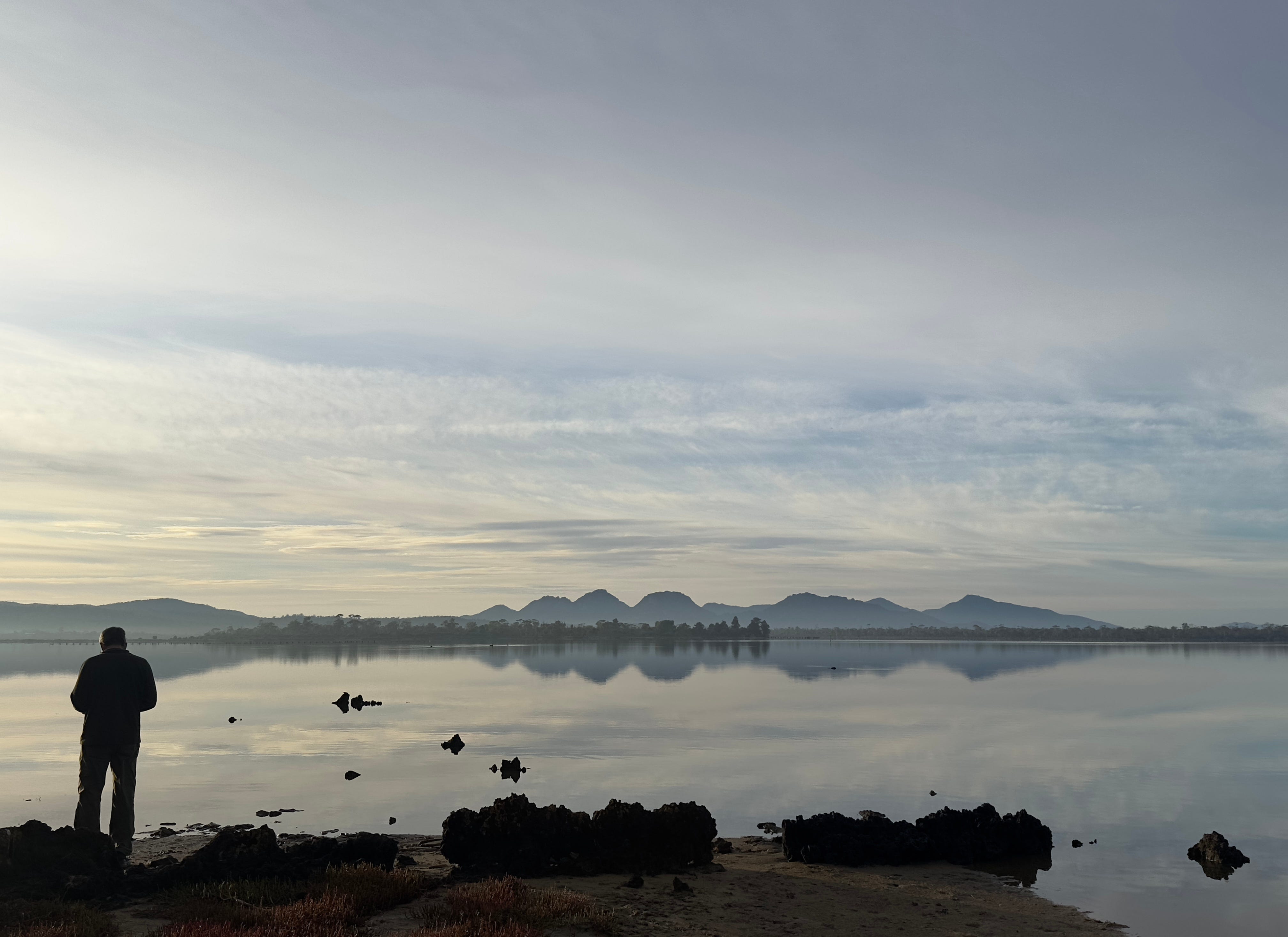
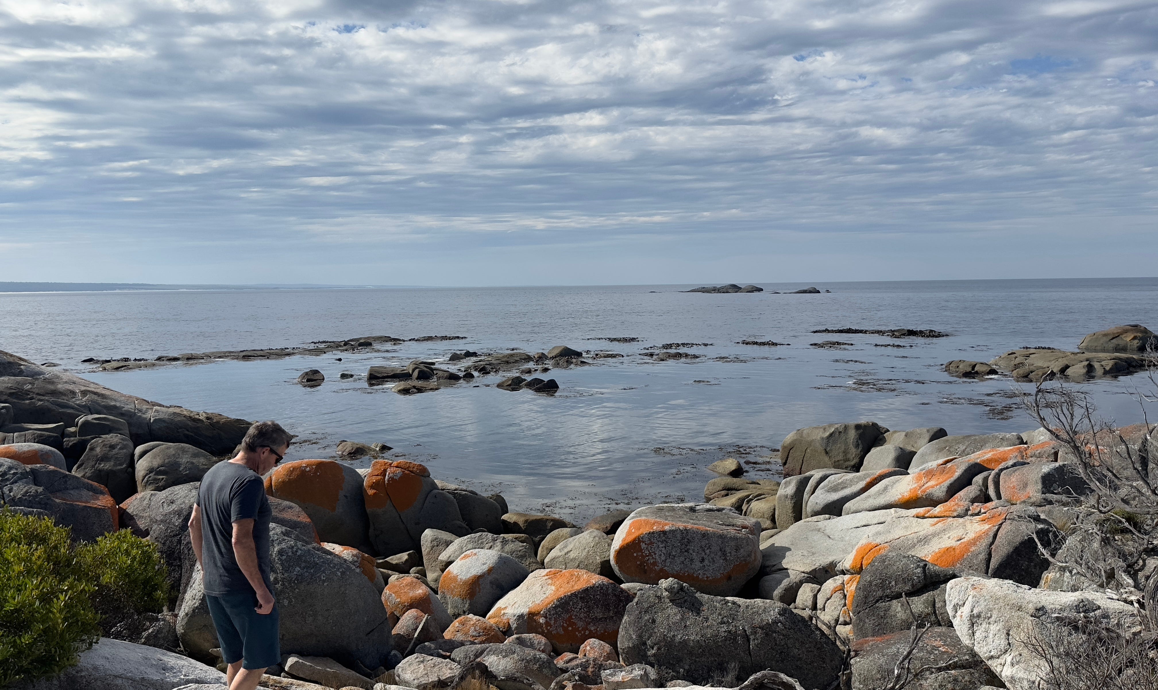
Dave contemplating the beauty.
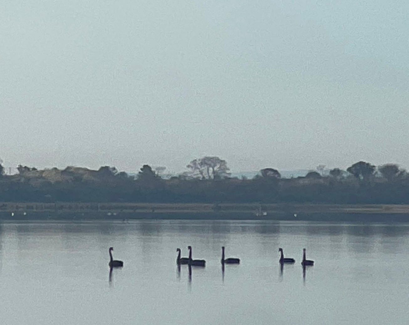
Black swans on Coles Bay — photo credit to Dave.
Hiking up and over the Hazard Mountains to Wineglass Bay.
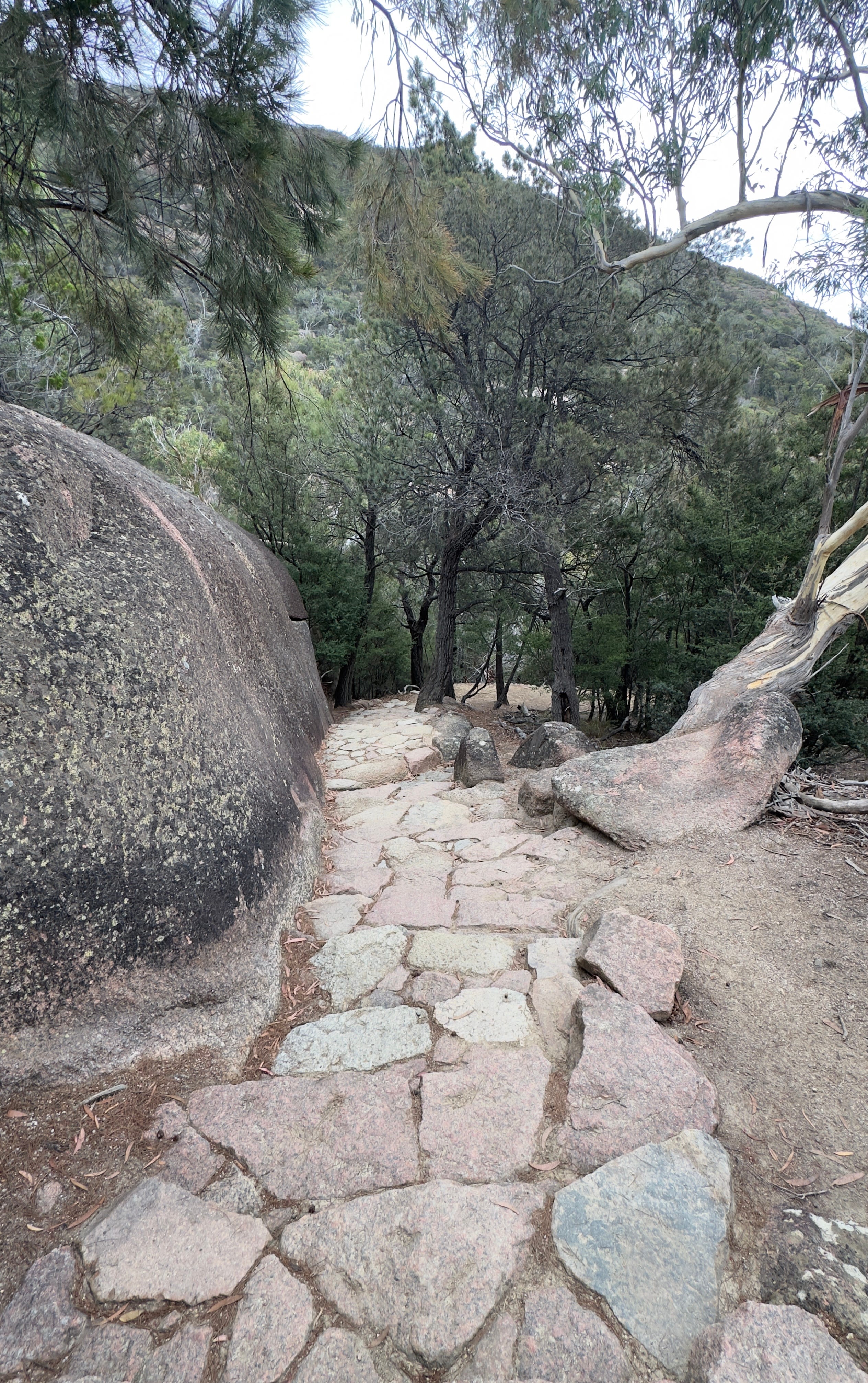
The Hazards are famous for rare pink granite and the park service has used it to construct stairs on the trail.

A lounging bench along the trail!
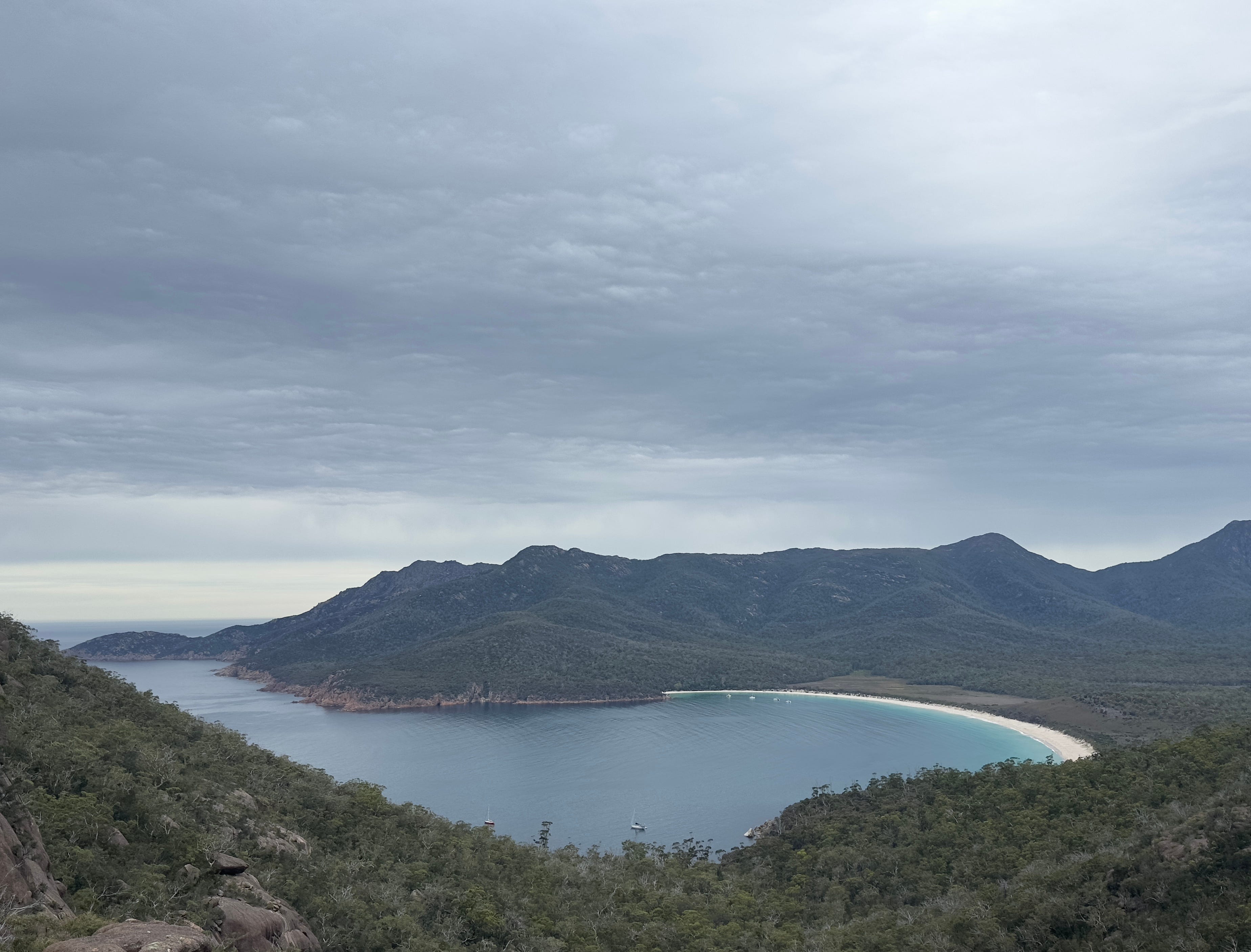
Wineglass Bay
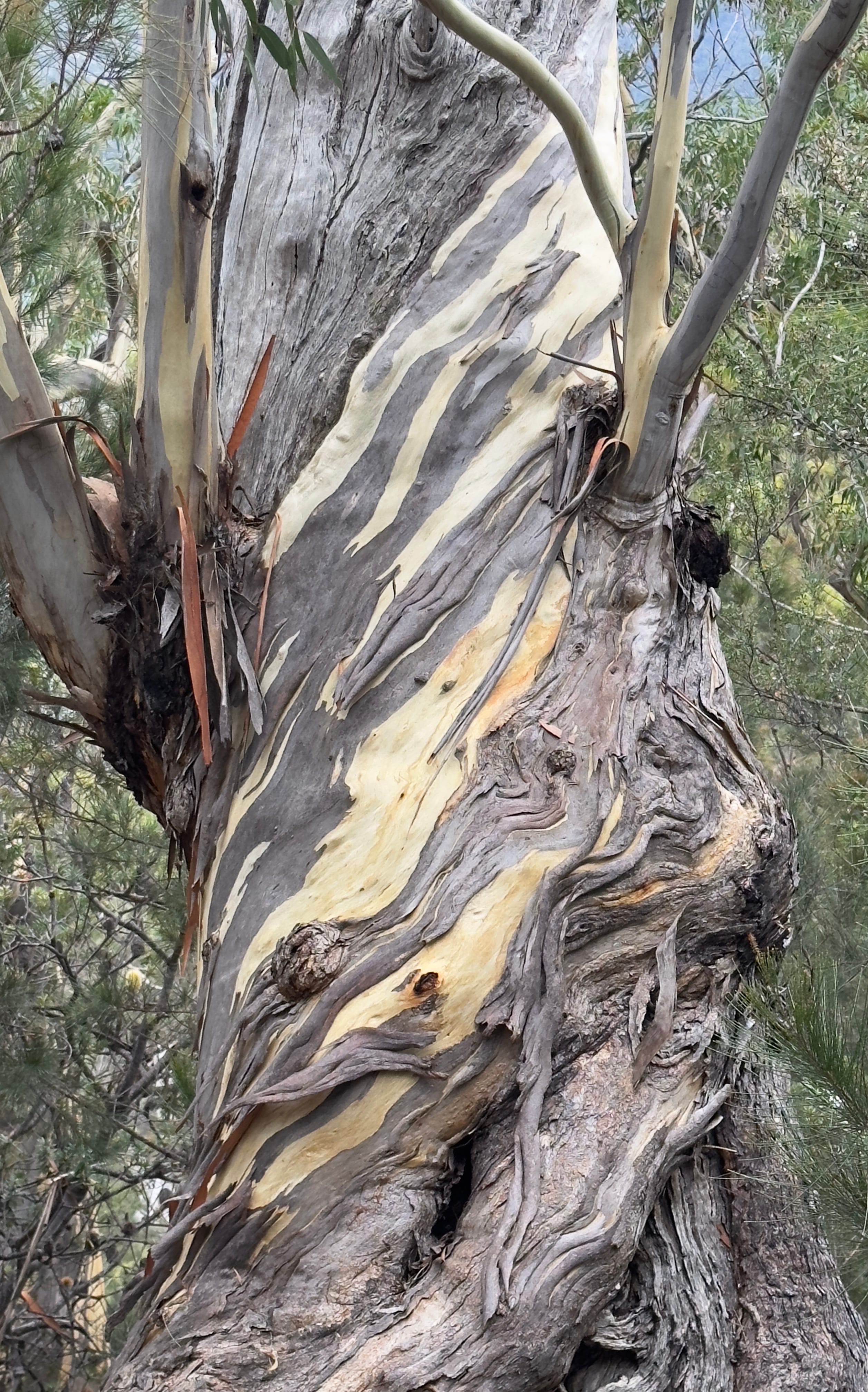
Beauty and the Bark.

Wineglass Bay
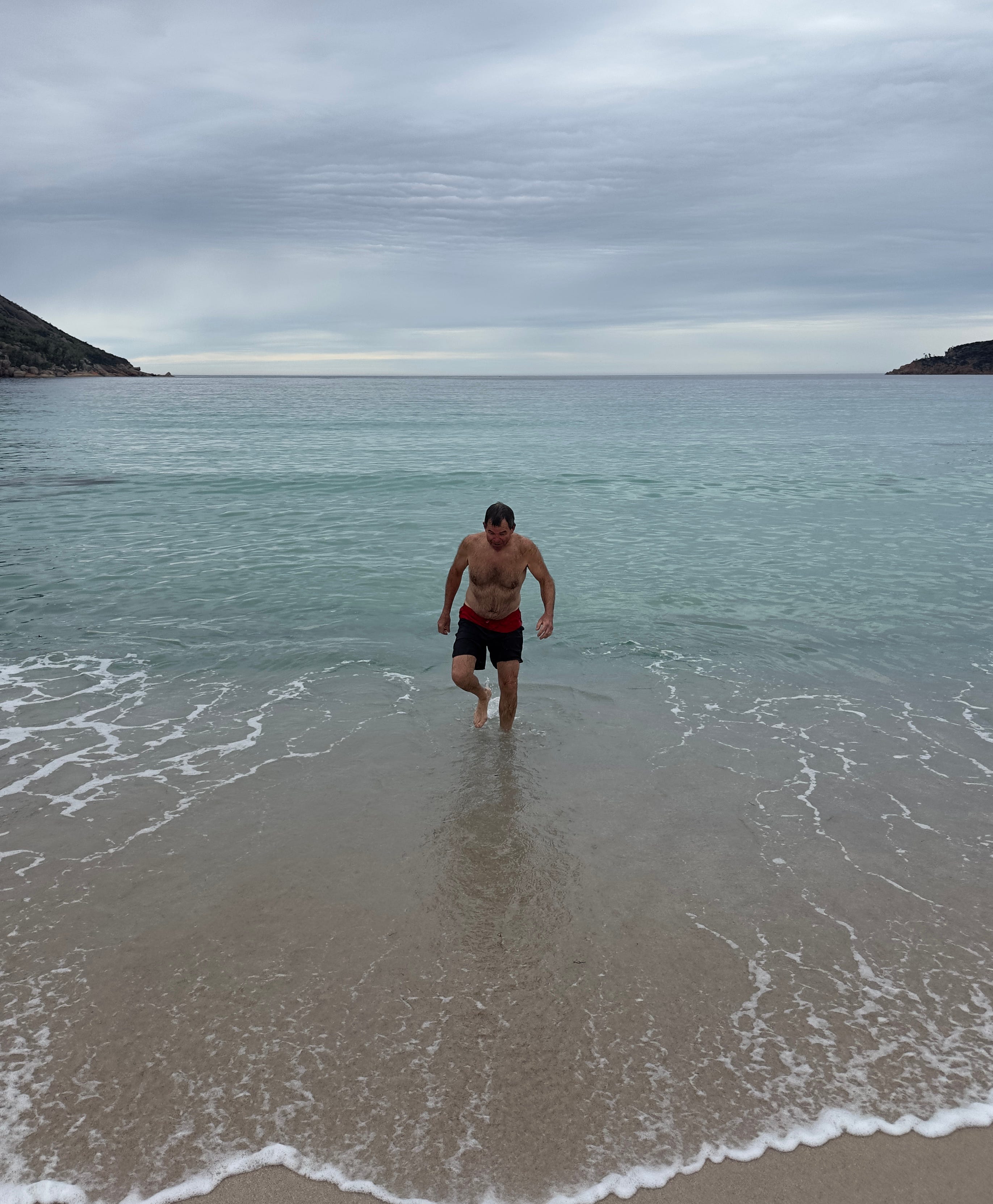
Dave taking a dip in Wineglass Bay.
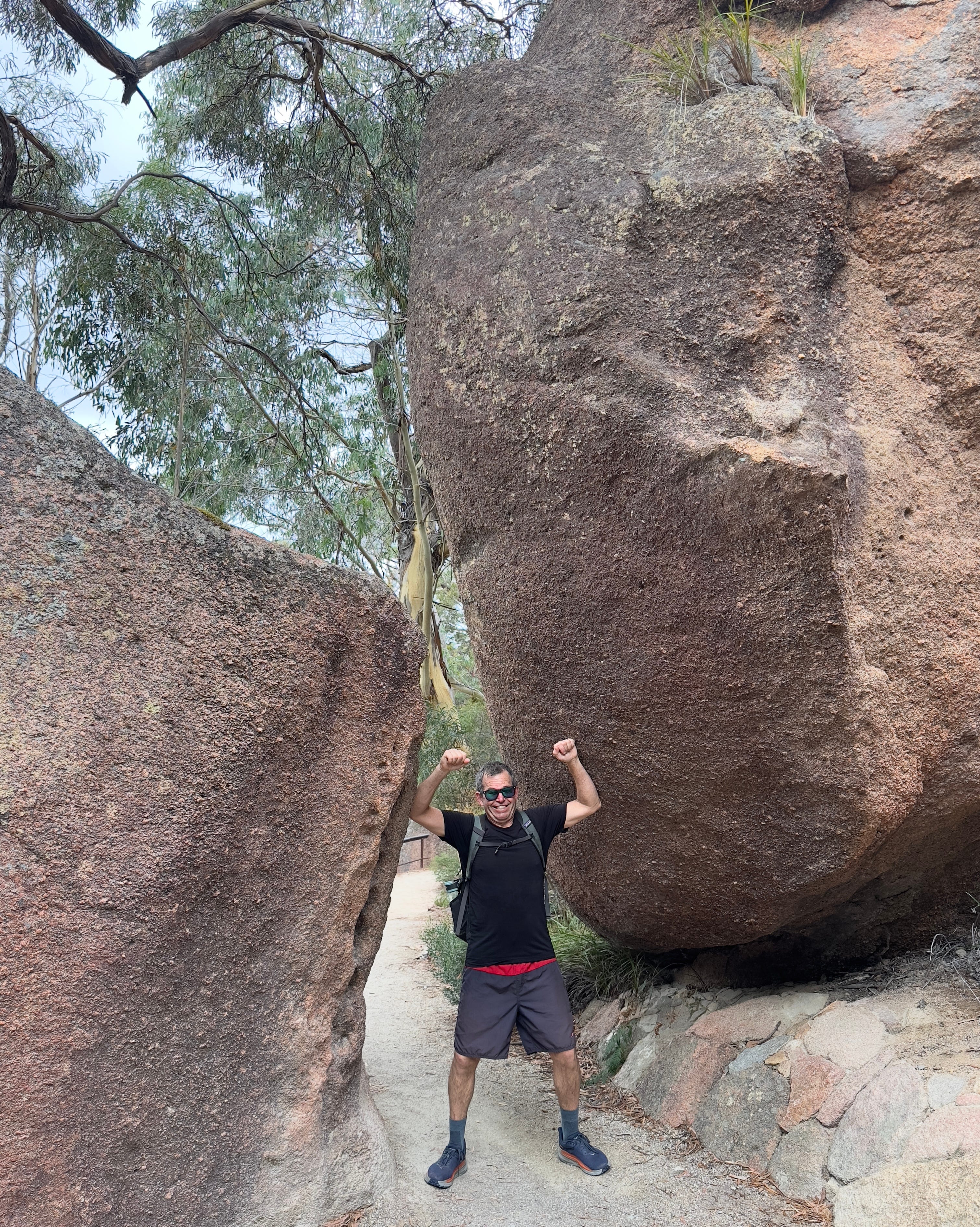
Dave gallantly holding the boulders apart so I can hike through! 😂
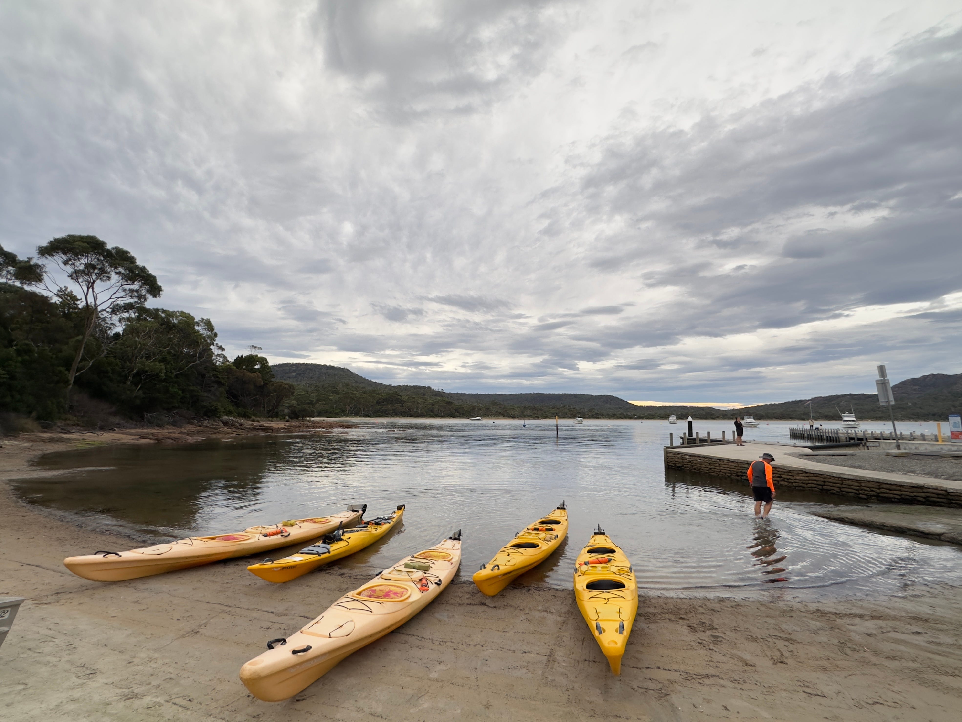
The only photo I have of our rough kayak trip around Honeymoon Bay. The water look calm in this photo, but it was no so once we we out in the Bay!
Beautiful photography Tami! Love following along. Skied some epic powder for you at Fernie.
What absolutely gorgeous sights! Thanks for taking me along! ❤️